Another day, another roadway aerial acquisition for S&F Land Services. This one was a bit more challenging than I expected. At a mile and a quarter in length I needed to break the road up into 3 different missions to acquire safely . This meant positioning my home point at strategic locations as well as following the drone on foot to maintain visual sight of it at all times. I have to do this on all projects of course but here there was a lot of canopy cover so I needed to be extra careful. There were also low flying aircraft on approach to Pearson Field I needed to be aware of. Many of these aircraft were cutting their engines high up on the hillside where I was flying and then coasting down for their landing at the airfield. To be extra safe I took measurements of the tallest trees and pegged my flying height at just above this. To be any danger to planes they would have needed to be scraping the trees with their wheels so I felt pretty secure about where I was flying but also chose on the last leg to just shoot it once instead of my typical double grid just because I didn’t want to make any incoming pilots nervous.
The last leg of this road also had a ton of canopy coverage that took a lot of post-work to pull back in the final mosaic along with my typical removal of moving cars. 1,000 frames and a 60 million point cloud later we got RMS accuracy values of less than an inch for XY and Z from a data set of half inch pixels. Pretty darn good I’d say. Props to the S&F crew for a great job surveying in the air targets for me. The quality of my data always depends on the quality of the control given to me by my survey partners and S&F are always top notch! I hope their client enjoys the quality product and added deliverables of using UAV mapping for their roadway design needs.
Below is an example of how much of the road that can be revealed with the use of a UAV aerial survey vs. a traditional manned aircraft survey or by satellite. On the right is what you would typically see if not worse, but on the left is what TLT Photography can provide to clients using careful acquisition parameters as well as 10 years of aerial imagery experience.


Again, from the screenshot below you can see where I revealed painted utility lines that would have been obscured by the tree canopy overlaying the road.

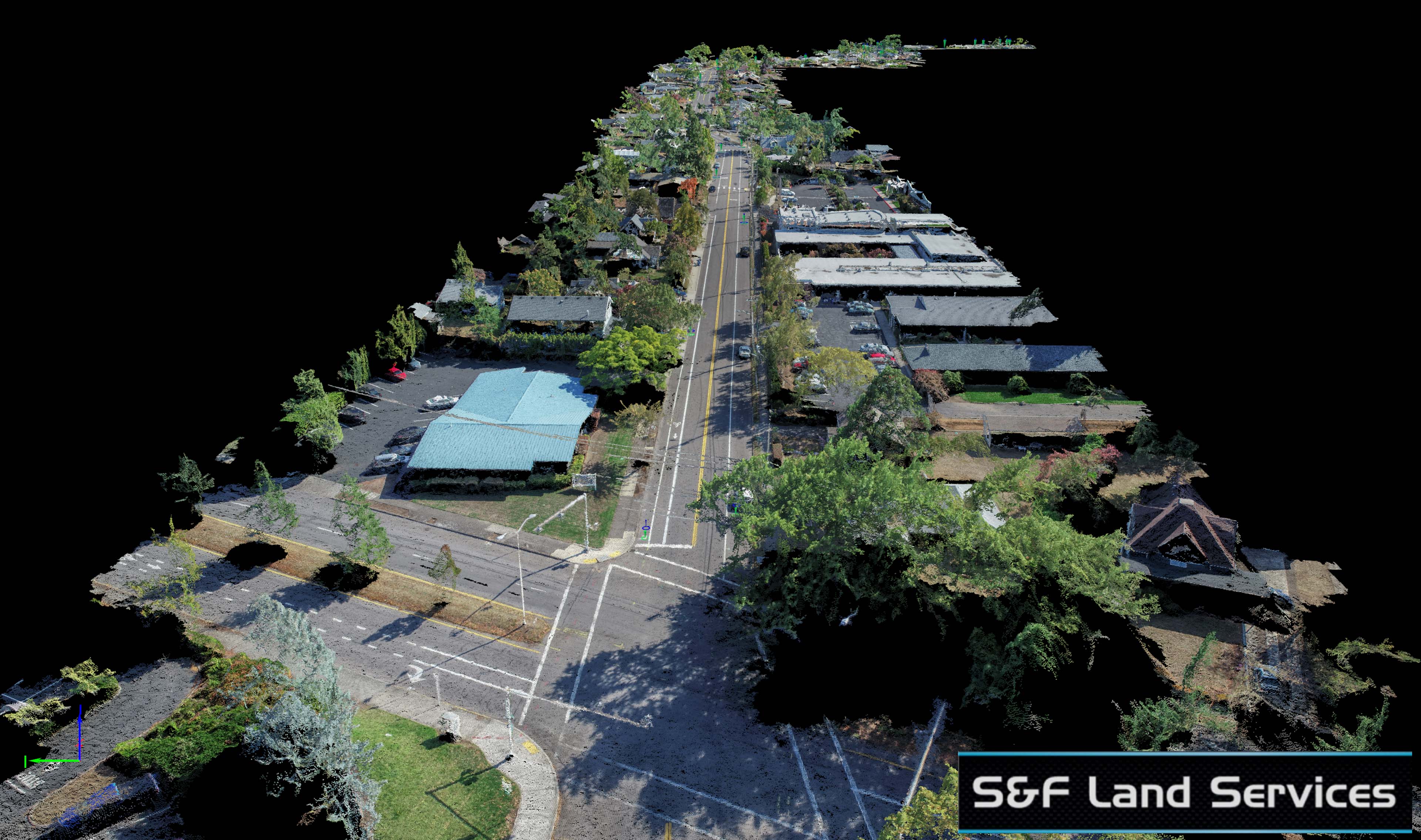
This screenshot of the point cloud clearly shows the underground utility lines painted on the roadway. These are important to digitize for the client so I spend much of my time pulling back the overhanging vegetation above the roadway to reveal the paint as much as possible for digitizing.


Yes, I named the road wrong in the video below… whoops! I hope you enjoy it anyway and feel free to scroll through as there are many different fly-thru angles.