
Any Location

Cost-Effective

Fast Delivery

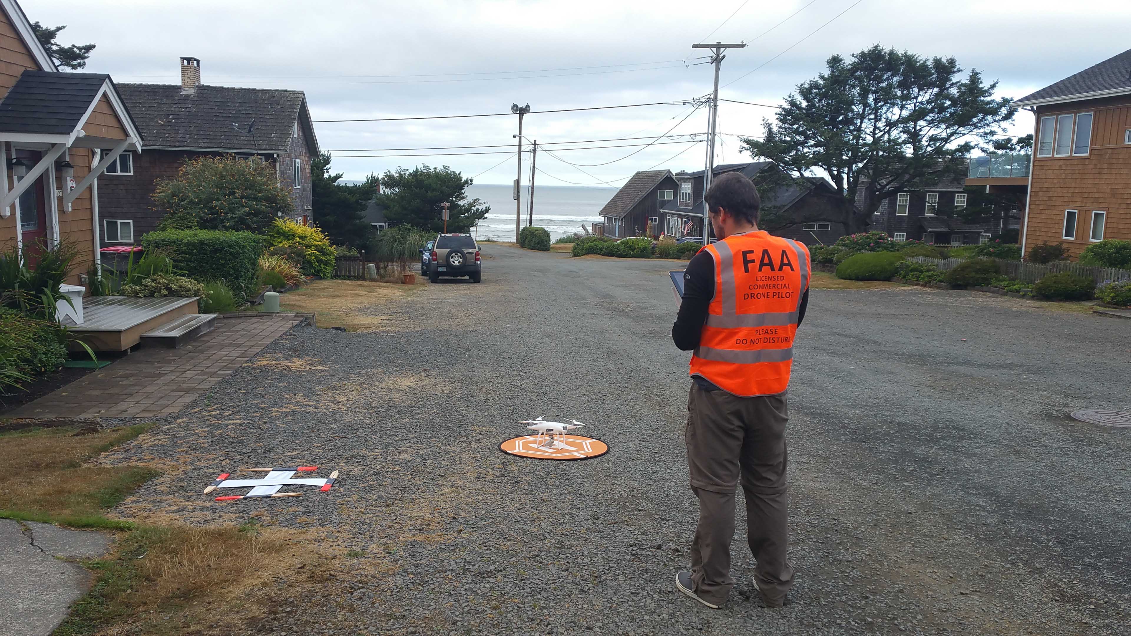
Highest Standards


Past Clients


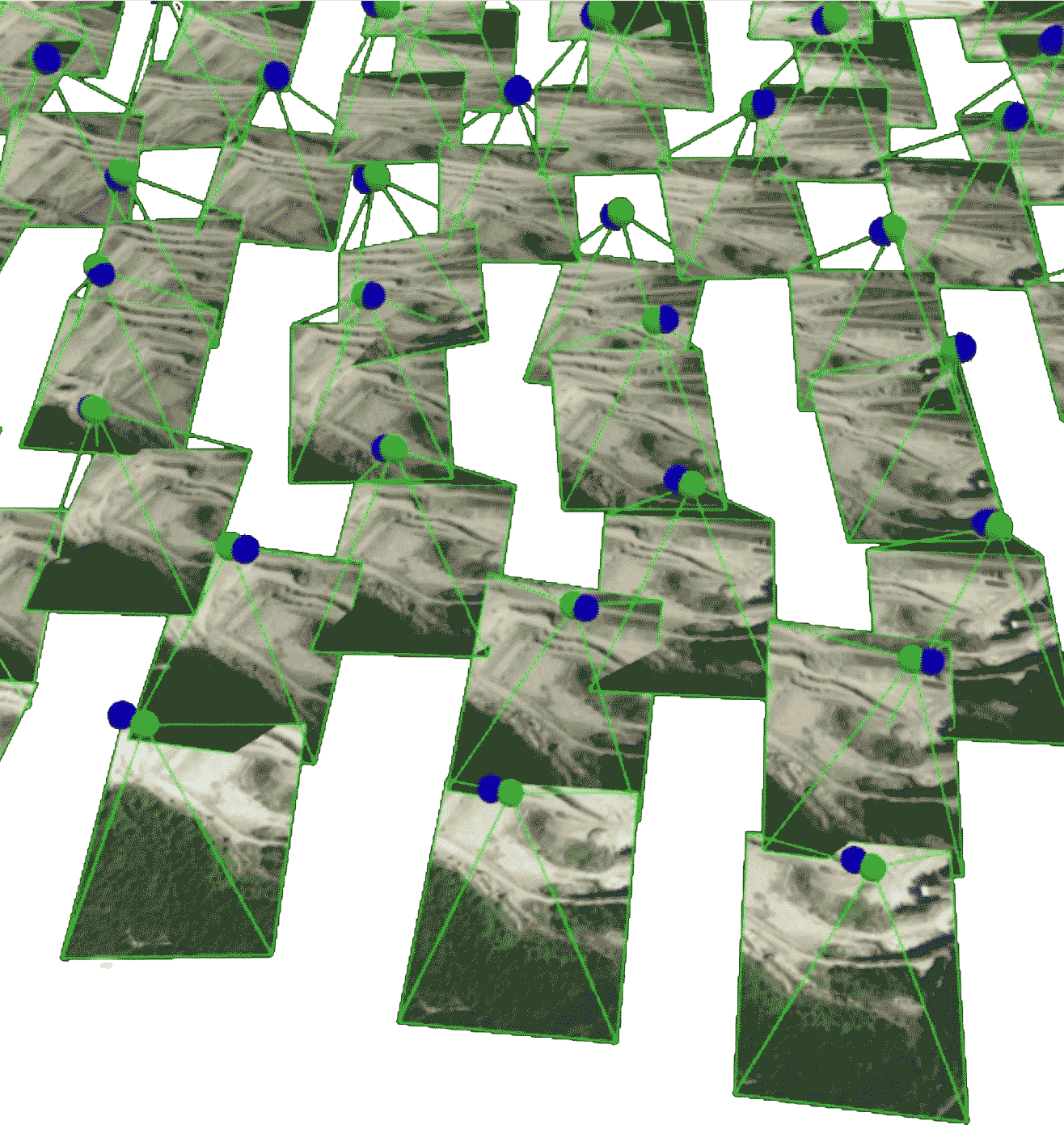
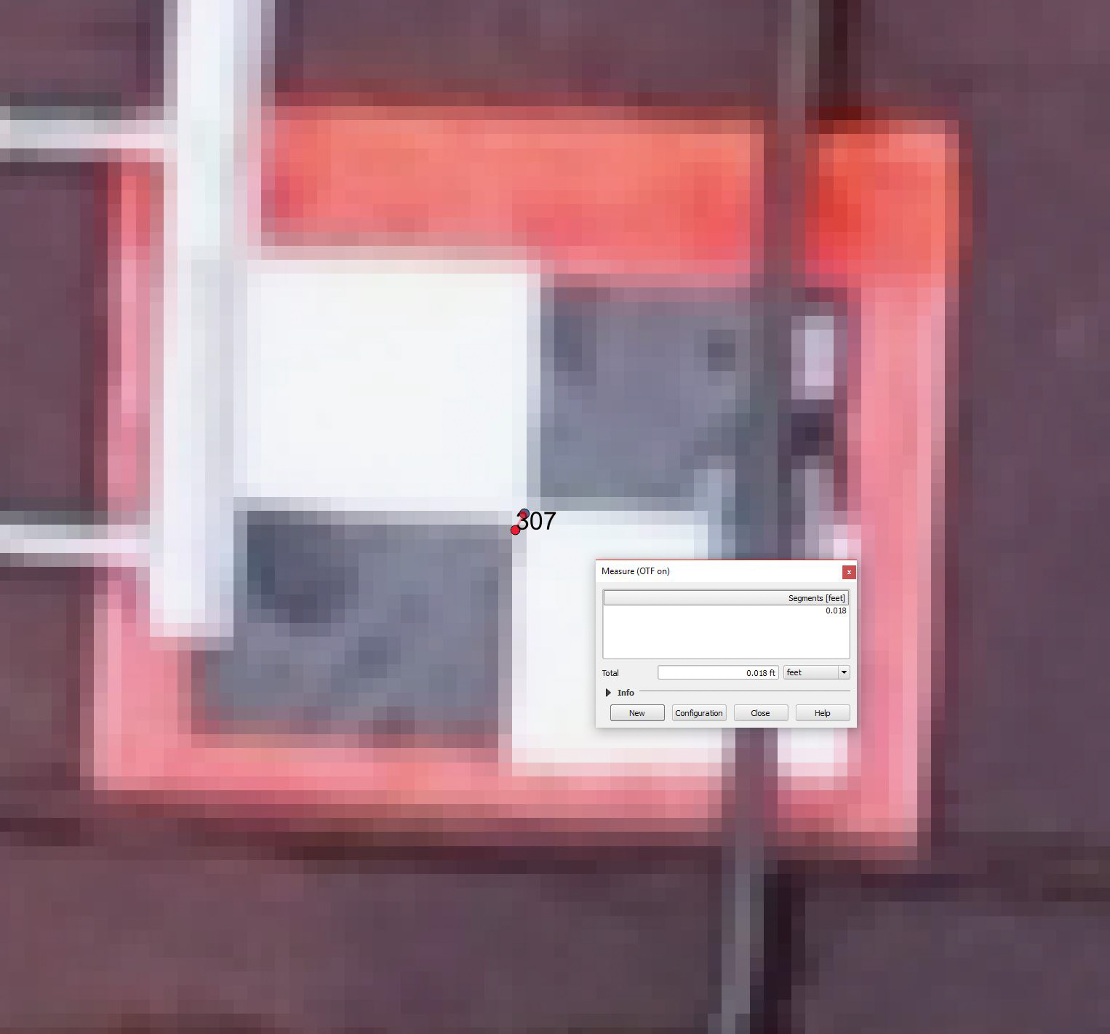
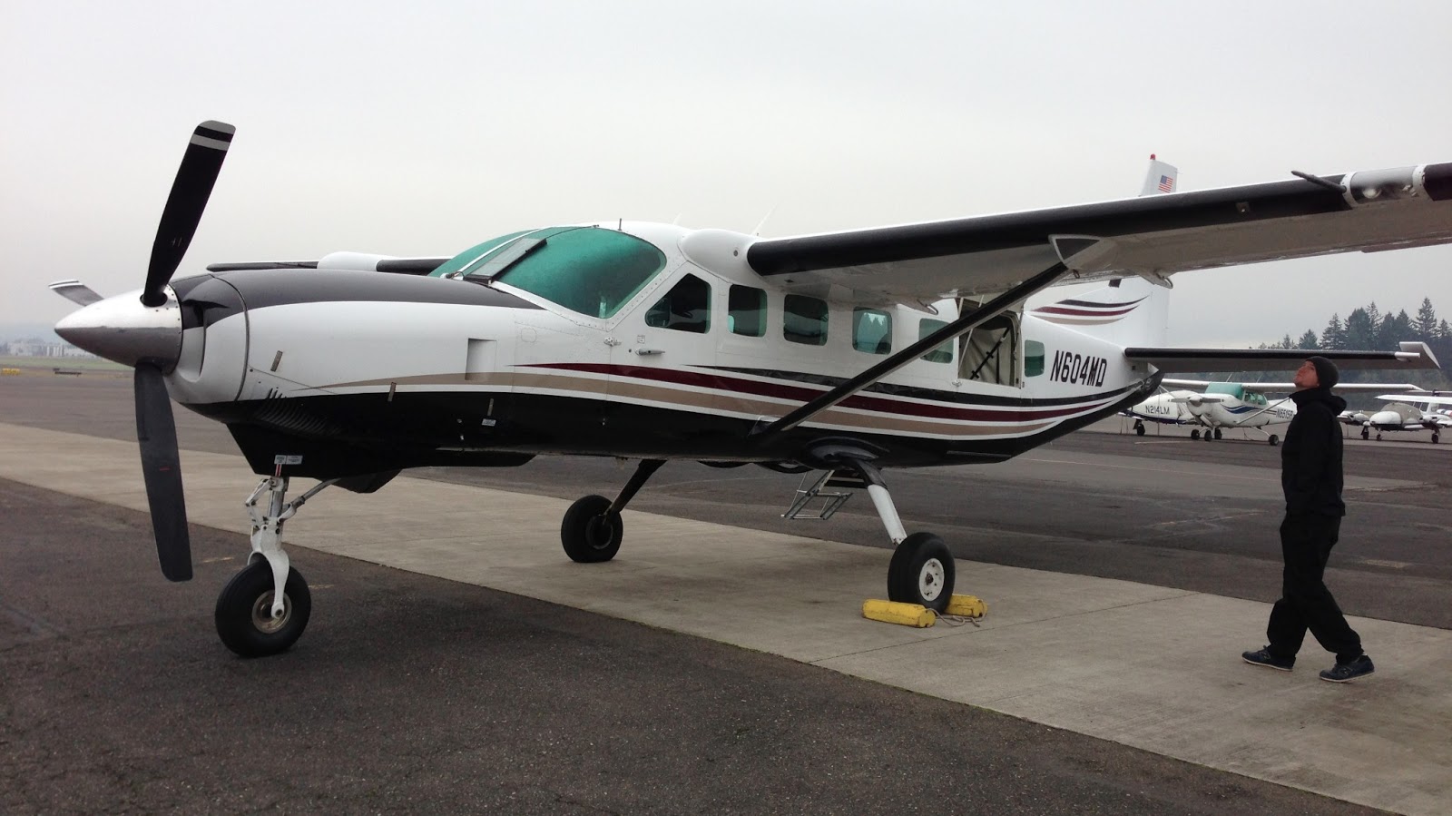
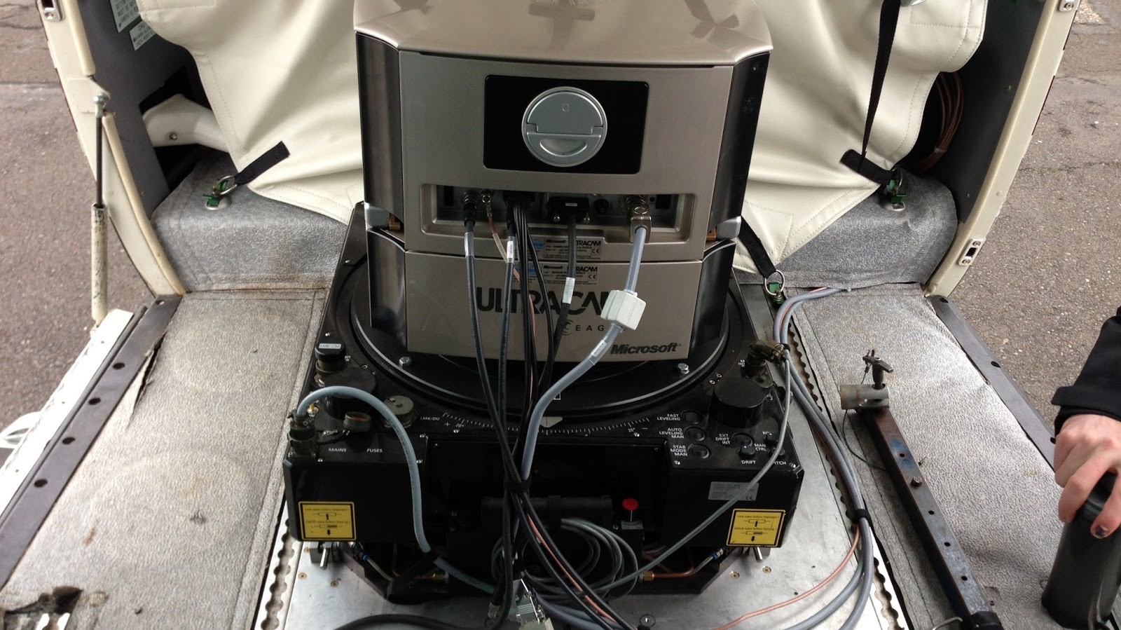
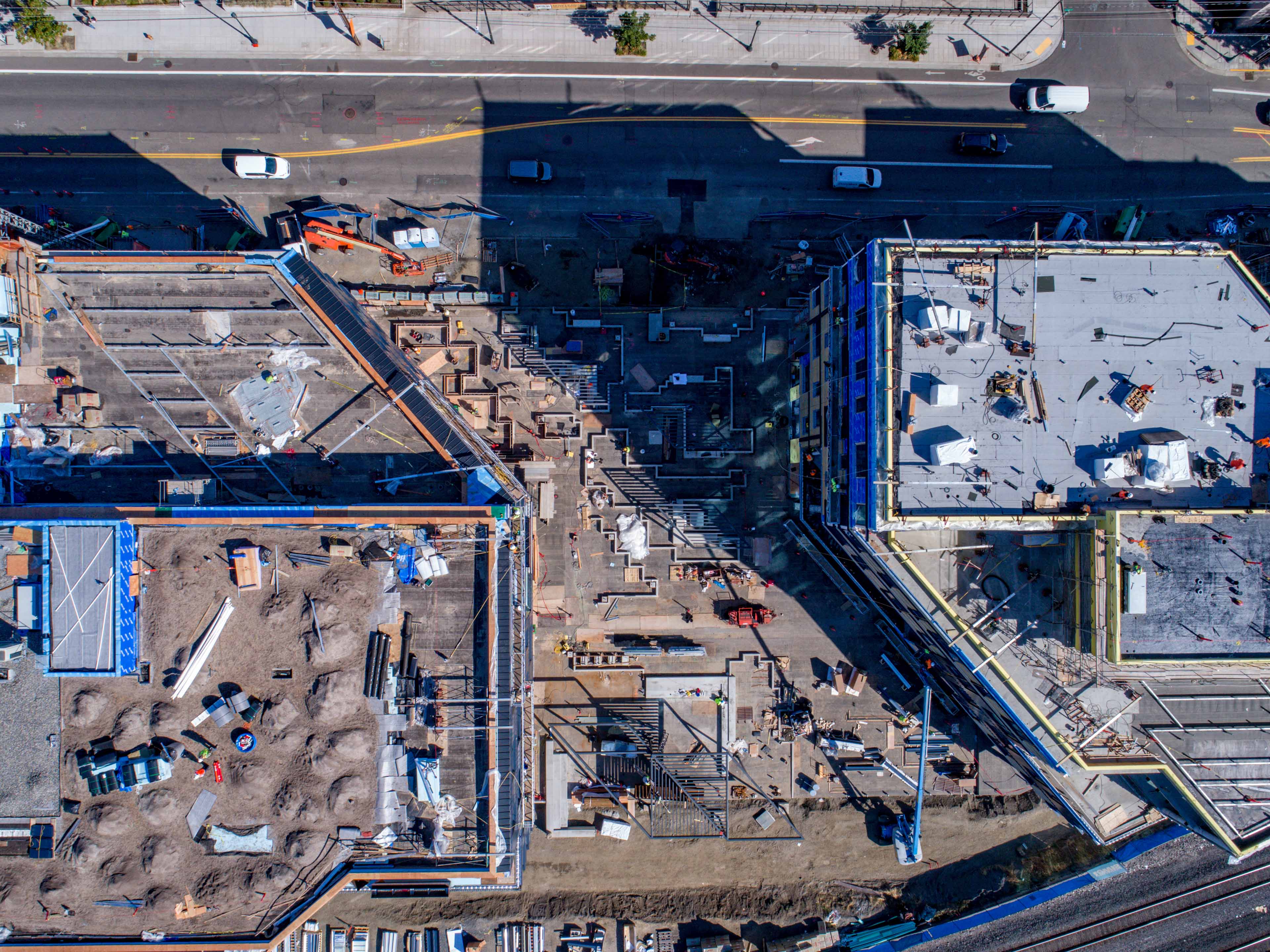
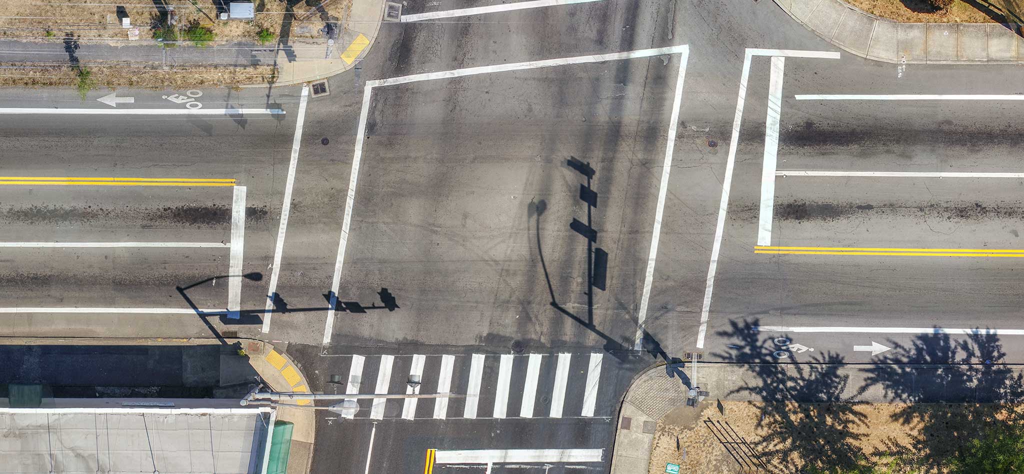
Recent Work


Testimonials and Endorsements
Jon Ellinger is a pleasure to work with, he has excellent communication skills and is very responsive.
Jon has exceeed the geospatial positioning standards I require on the projects he has delivered. I find his work to be of the highest order given the equipment that he has chosen to utilize.
I highly recommend Jon for any UAS projects, including surveying ans engineering design.

“The 2017 Eagle Creek Wildfire devastated the Columbia River Gorge National Scenic Area. Hundreds of miles of the Gorge’s trails, which are visited annually by millions of people, are now closed and severely compromised. The Multnomah County Sheriff’s Office is responsible for Search and Rescue efforts in the majority of the area affected. Jon Ellinger with TLT Photography proved invaluable to our efforts to identify the burn areas to keep our SAR volunteers safe. Working with Digital Globe, Jon provided us with satellite overlays we were able to incorporate into our existing mapping software. Our SAR people and the citizens we serve are much safer because of their work.”

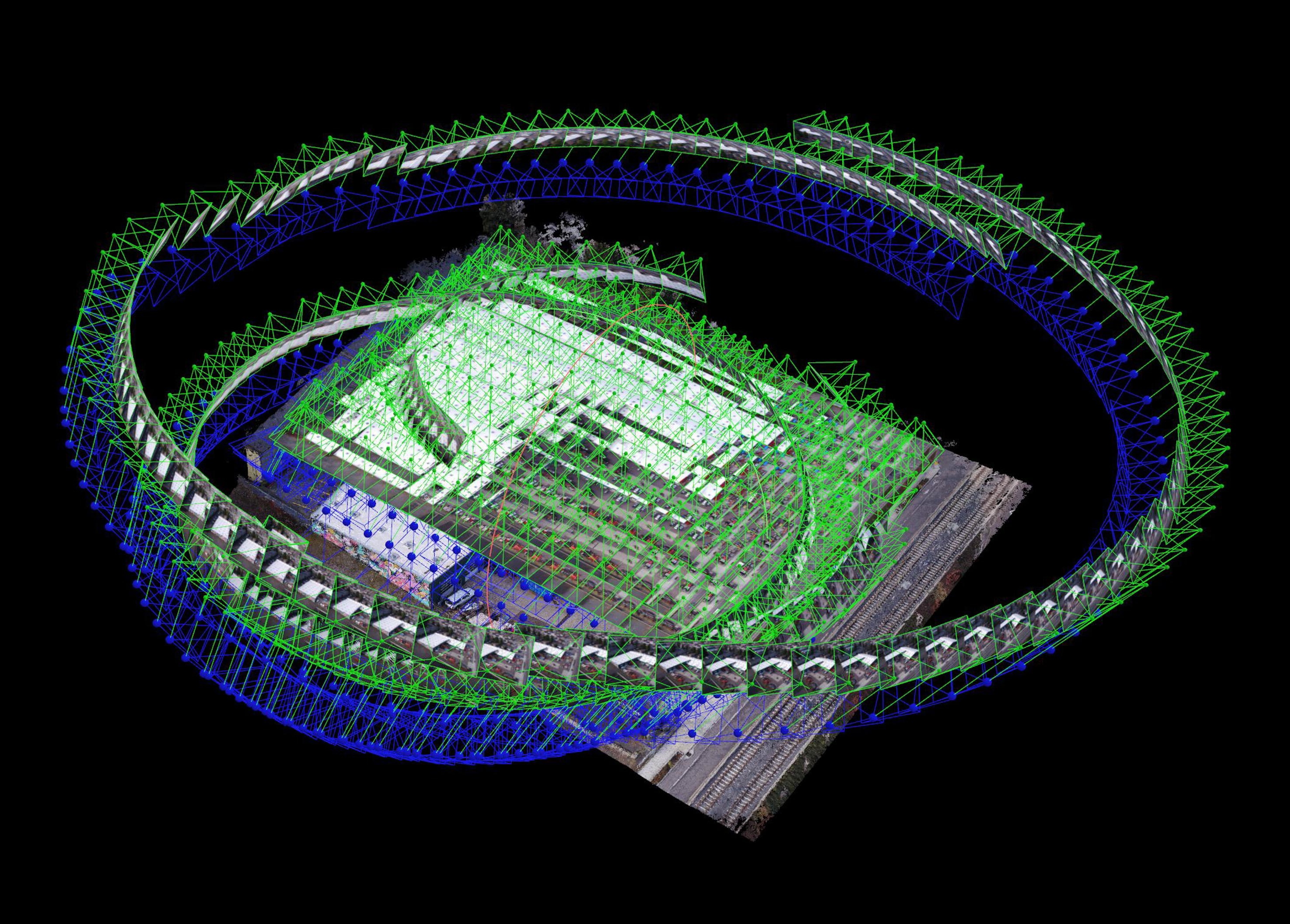
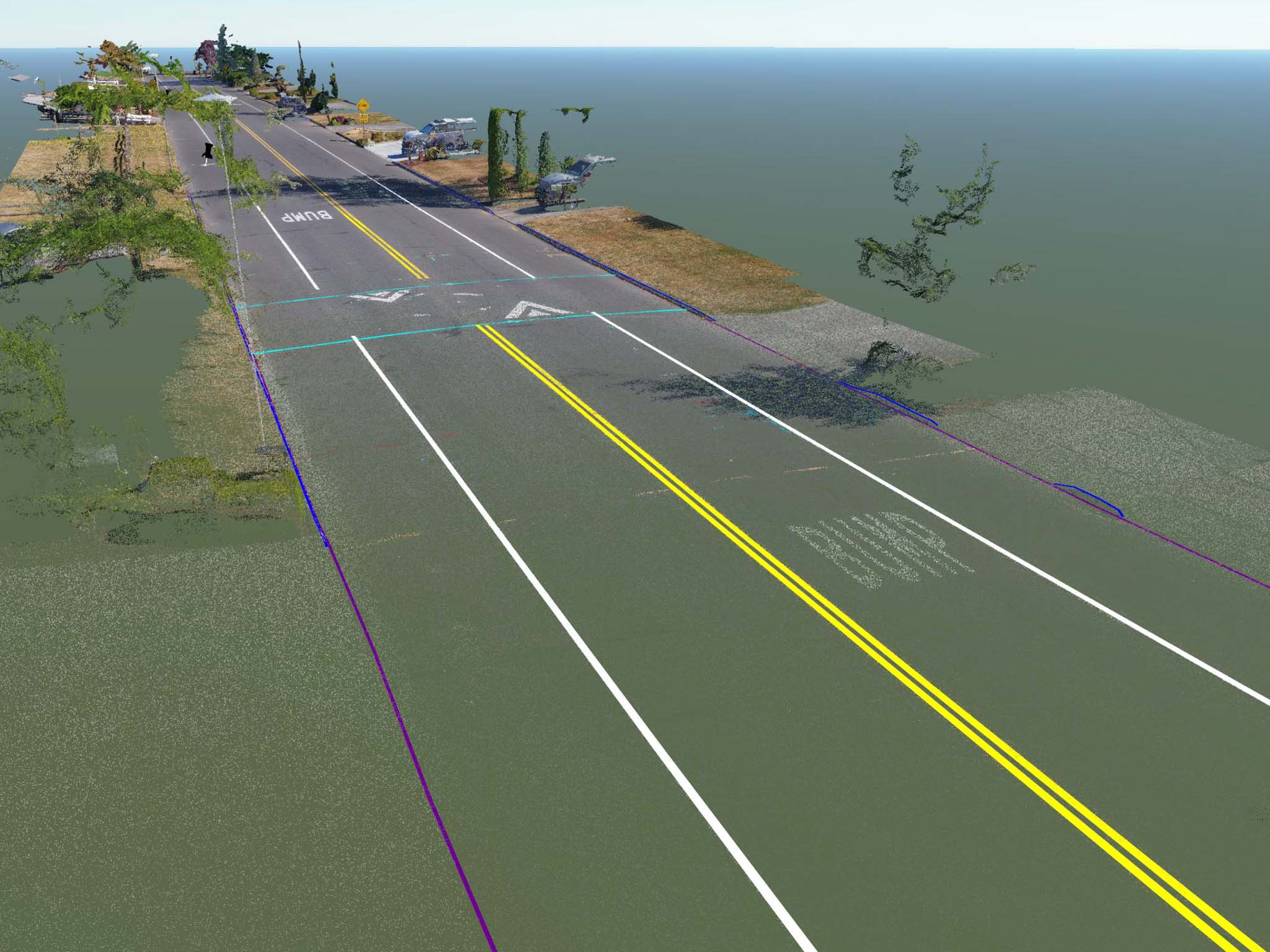
I work at a professional mapping firm. We were looking for someone to collect aerial photographs and prepare large scale aerial images geo-referenced to our project coordinates (ortho-photography). We also needed 3D points generated from this imagery – sufficient to map roadways.
TLT’s drone-pilot/photographer is a certified photogrammetrist (something I did not find with other drone-photographers out there). He is professional and was excited about the details of our project. Really great to work with.
The photos turned out excellent, and the large scale, multi-photo stitched image was exactly what we (and our client) needed. TLT produced professional grade photographs with professional grade cameras and equipment.
Highly recommended!

The work you did was great and much appreciated!

“I called Jon from his website to see if he could help me provide terrain data to my architect who is not local to my project. He was most generous with his time and provided a file in the format my architect needed. I was beyond pleased at his quick response and willingness to help.”
“Thank you so much! This is SO helpful! I intend to run this answer with some link backs to TLT this Saturday. I appreciate it!” – In response to a detailed photogrammetry explanation for her very popular blog.

Mr. Ellinger is one of the most talented imagery data scientists that I have had the pleasure of knowing. Mr. Ellinger employed a number of innovative solutions to digital imagery projects that had strict accuracy requirements with tight budgets. Mr. Ellinger always completed his work ahead of schedule and under budget. His management skills for workflows and schedules are top notch.
