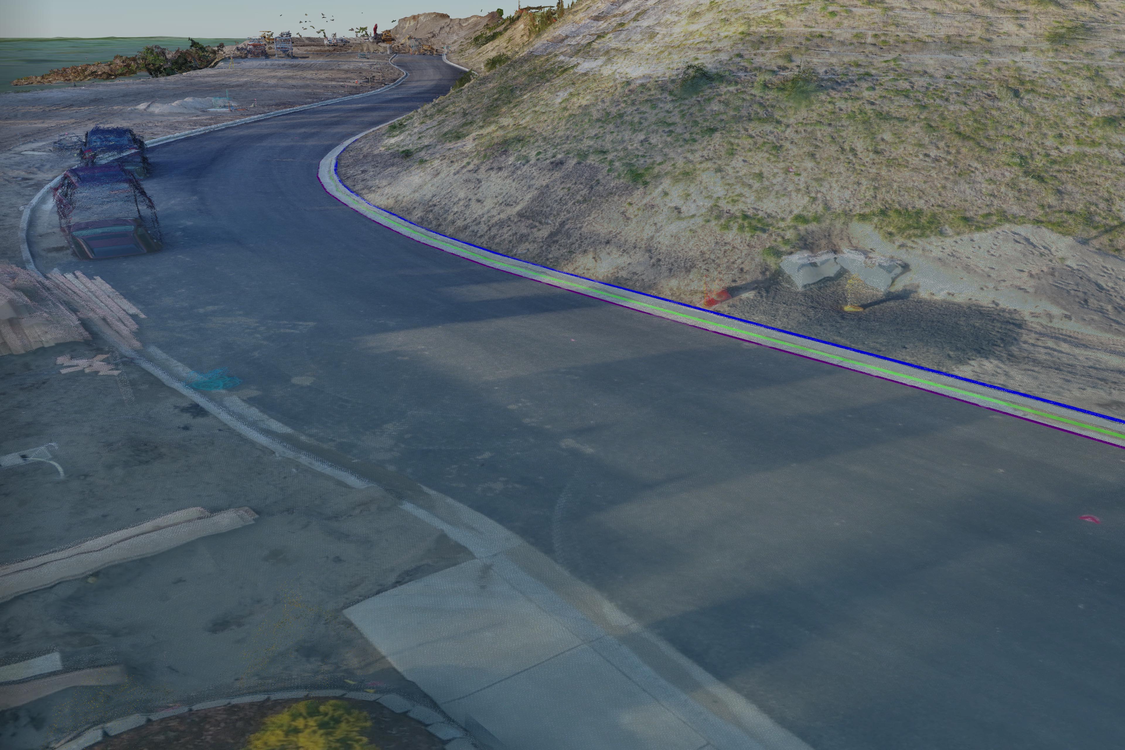
I just completed two surface models for Magyar Land Surveying of Astoria of a subdivision being built near Clear Lake in Warrenton, OR. I broke the flights into a lower resolution, lower accuracy North end where surface grading and sewer lines were still being put in and then another higher resolution set of lower altitude flights to capture the southern end where the roadway, sidewalks, and houses were currently going in. Despite a major embarrassing mishap finishing up the first set of flights (you can probably guess – it was a great learning lesson), I was able to finish all flights before the sun went down and headed home to process the data. Mike got me the coordinates for the air targets we had laid out over the weekend and I spent the early part of this week classifying and cleaning up the photo-derived point clouds. For the lower resolution north end of the site we got an RMSE of 4.88″ Z and for the south end site flown at half the altitude we achieved sub inch vertical accuracy. Great results. I then threw the models into some CAD modeling software and began street edge and curb feature extraction to assist Mike with his survey designs for the site. Check out the video and 3D models below! Another successful project for TLT Photography and Magyar Land Surveying!