Another successful aerial mapping project for S&F Land Services. This roadway project was particularly challenging due to the road’s location next to I-5. To maximize safety I changed my flight paths so that at no point in time would the drone be flying directly over I-5 nor would it’s trajectory endanger any of the vehicles on I5 either. This meant bringing along my lovely wife as my VO (visual observer) to keep an eye on the drone on the extra long flight lines I used up and down the road. I positioned her at one end of the road and myself at the other with our phones on speaker communicating the position of the drone the entire time. I think she enjoyed coming out with me to see what I do for the first time. 🙂
The final imagery for this project had a pixel resolution of just over half an inch and we achieved RMS accuracy values of about a half inch horizontally and just over an inch vertically for this 1.1 mile road thanks to using precisely surveyed aerial targets by the S&F Land Services team. Once the data had been processed through Pix4D I set about removing the vehicles and pulling back the tree canopy as usual. I5 was absolutely packed with cars on the busy Saturday morning. I think I ended up removing well over a hundred vehicles to deliver a product that appeared as if both Boones Ferry as well as I5 had been closed down during the mapping. 🙂
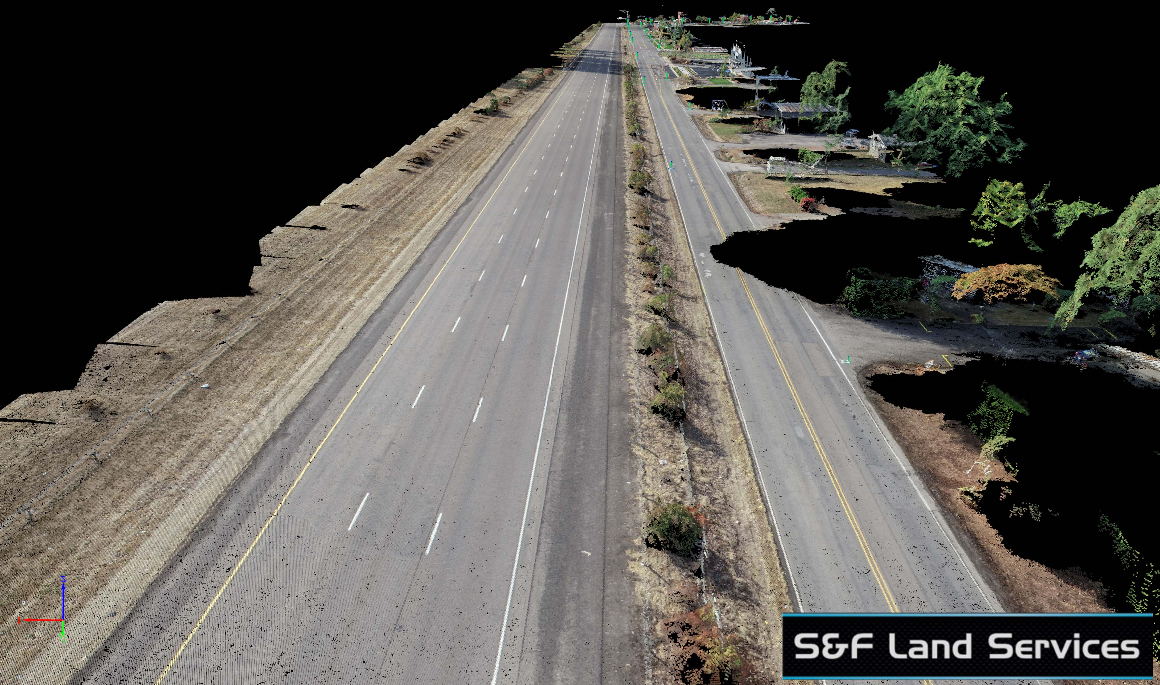
Below is a comparison between what an inexperienced UAV Mapping operator may deliver to a client vs what TLT Photography delivers. As an ASPRS Certified Photogrammetrist and Mapping Scientist with over a decade of experience and an unmatched attention to detail and commitment to the highest quality data I hope you can see the difference.


And now some 3D point cloud screenshots, a fly-thru and interactive 3D model! Enjoy!


