Sheridan Vineyard

Posted Posted in 3D Modeling, Aerial Services, Data Solutions, Photogrammetry, Real Estate, Survey

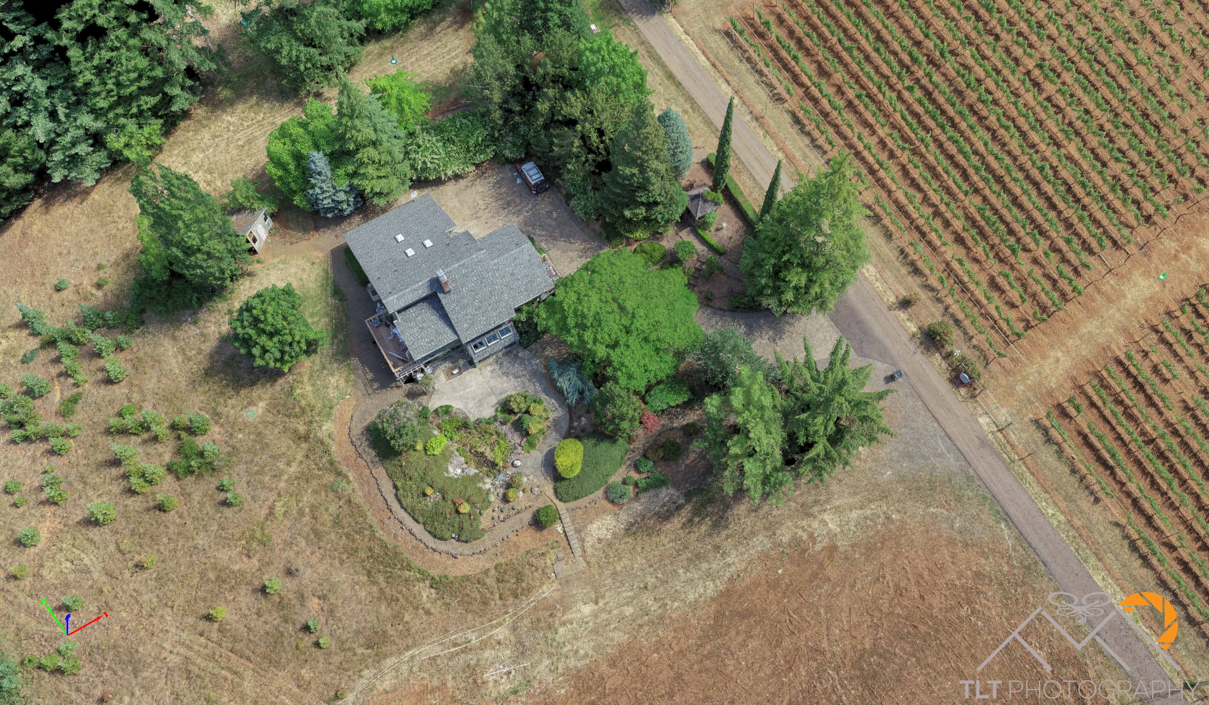
At the end of this week I rushed out to meet my buddy Mike Magyar at an absolutely beautiful vineyard just outside of Sheridan, OR.  Mike had asked me to help him map the site.  Part of the property was heavily vegetated with no chance of a reliable ground model from a photogrammetry derived point […]

TLT Photography Purchases RX10 IV

Posted Posted in Adventure, Nature Photography, Photography

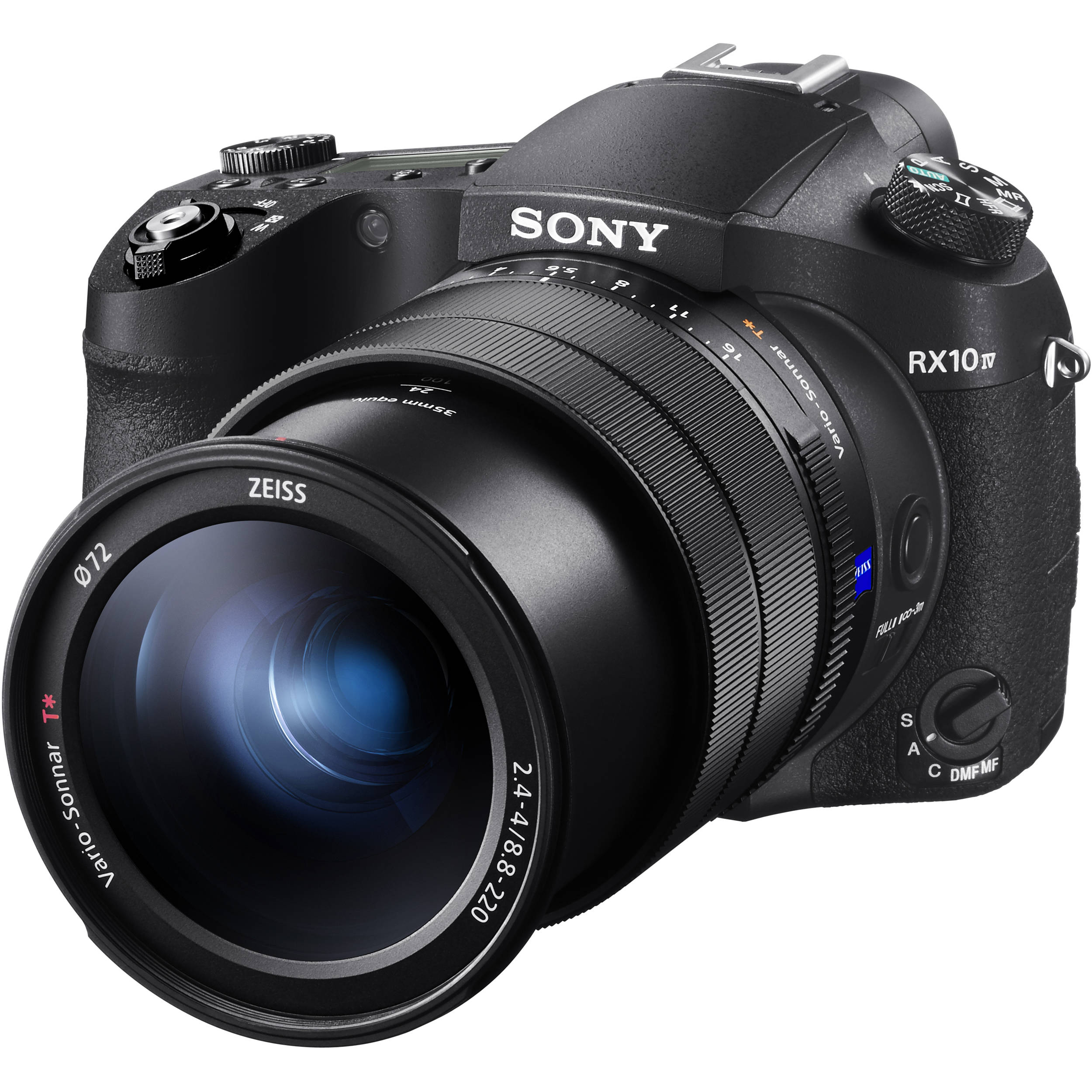
I’ve had some bad luck with camera gear over the past couple years.  In the Broken Group off Vancouver Island last year I drowned my Panasonic 1″ zoom camera while heading through a sea bridge when a big wave broke over me.  Then, at the end of May while rafting the John Day river I […]

Final Construction Layer Cake

Posted Posted in 3D Modeling, Aerial Services, Data Solutions, GIS Solutions, Photogrammetry, Real Estate, Survey

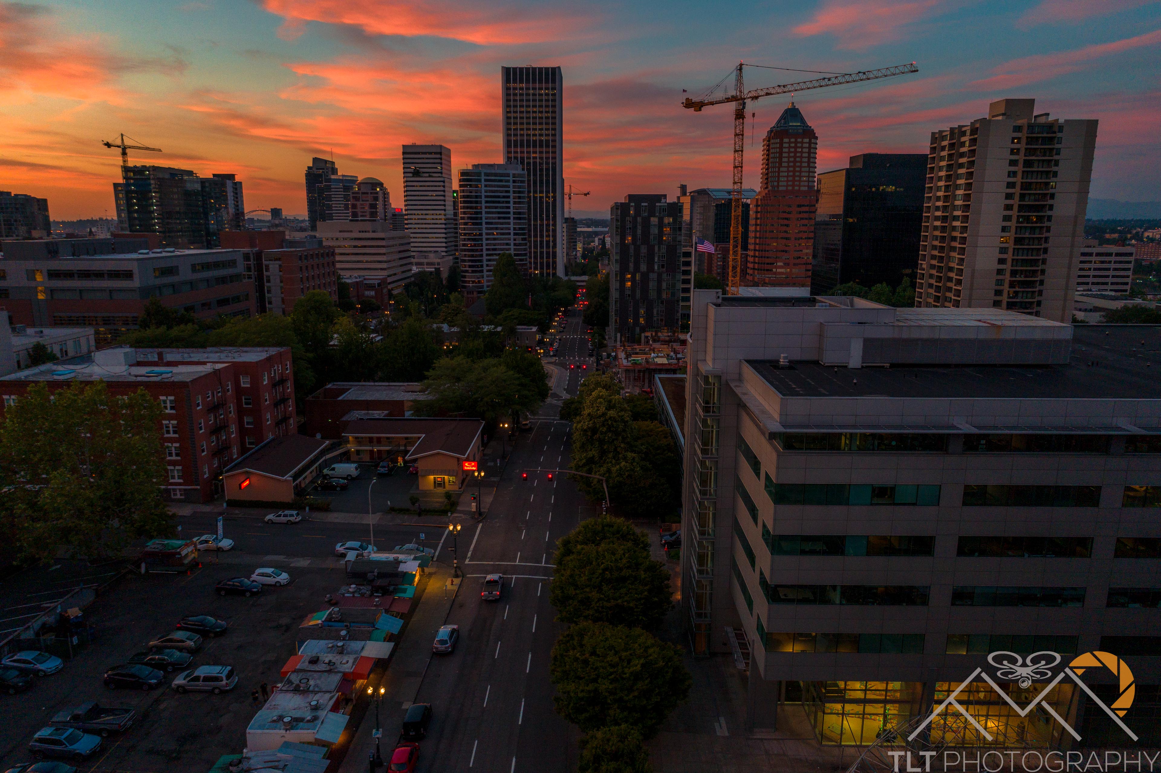
This week I completed the final processing for the last post-tension slab pour of a building for BD Aerial.  Because of NDA’s in place I can’t reveal who we were working for or where the building is located.  Each week I traveled out to the site and flew a deck before they poured the cement.  […]

Baumberger Studio Flights

Posted Posted in Aerial Services, Inspections, Marketing, Photography, Real Estate

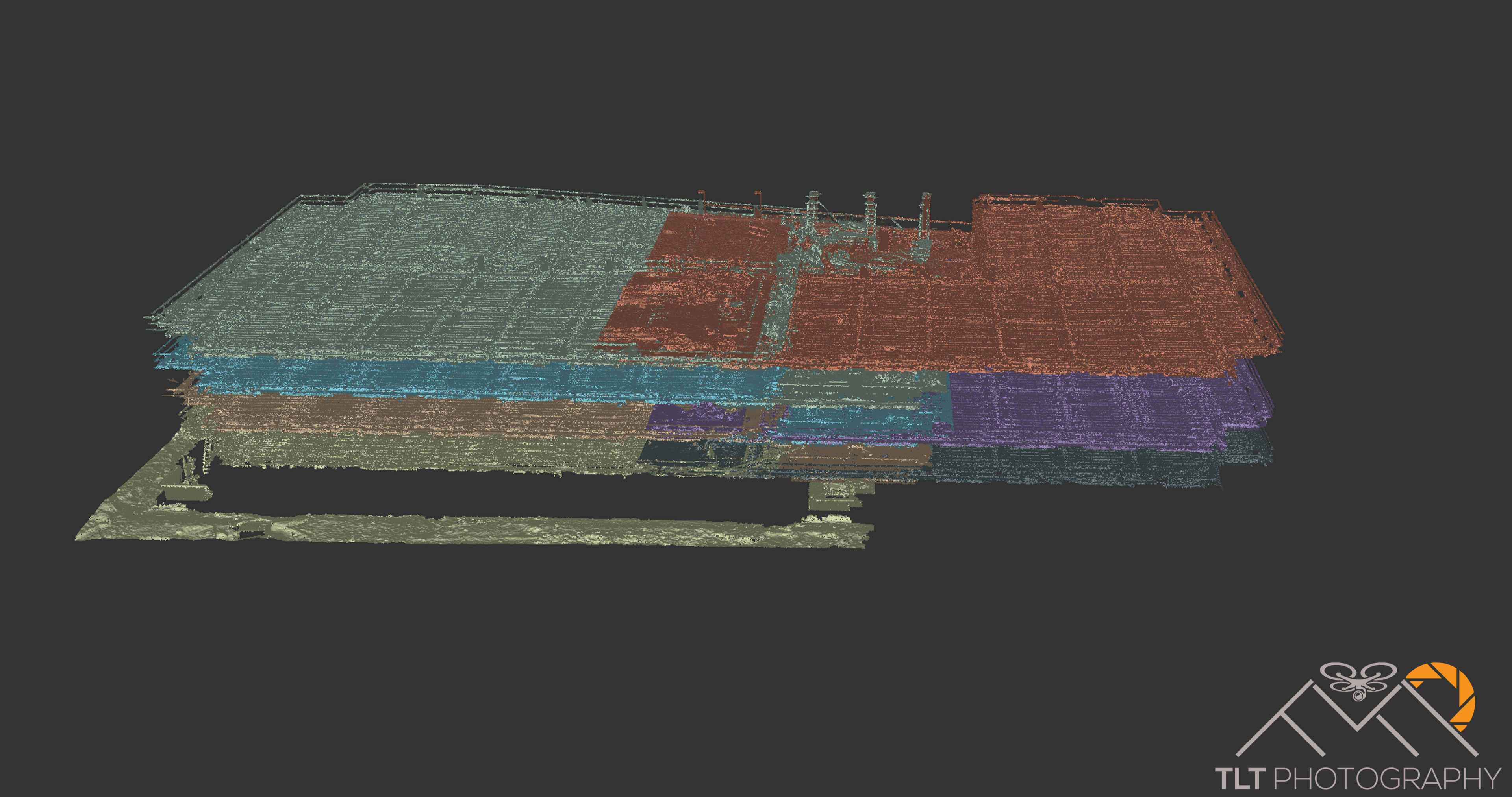
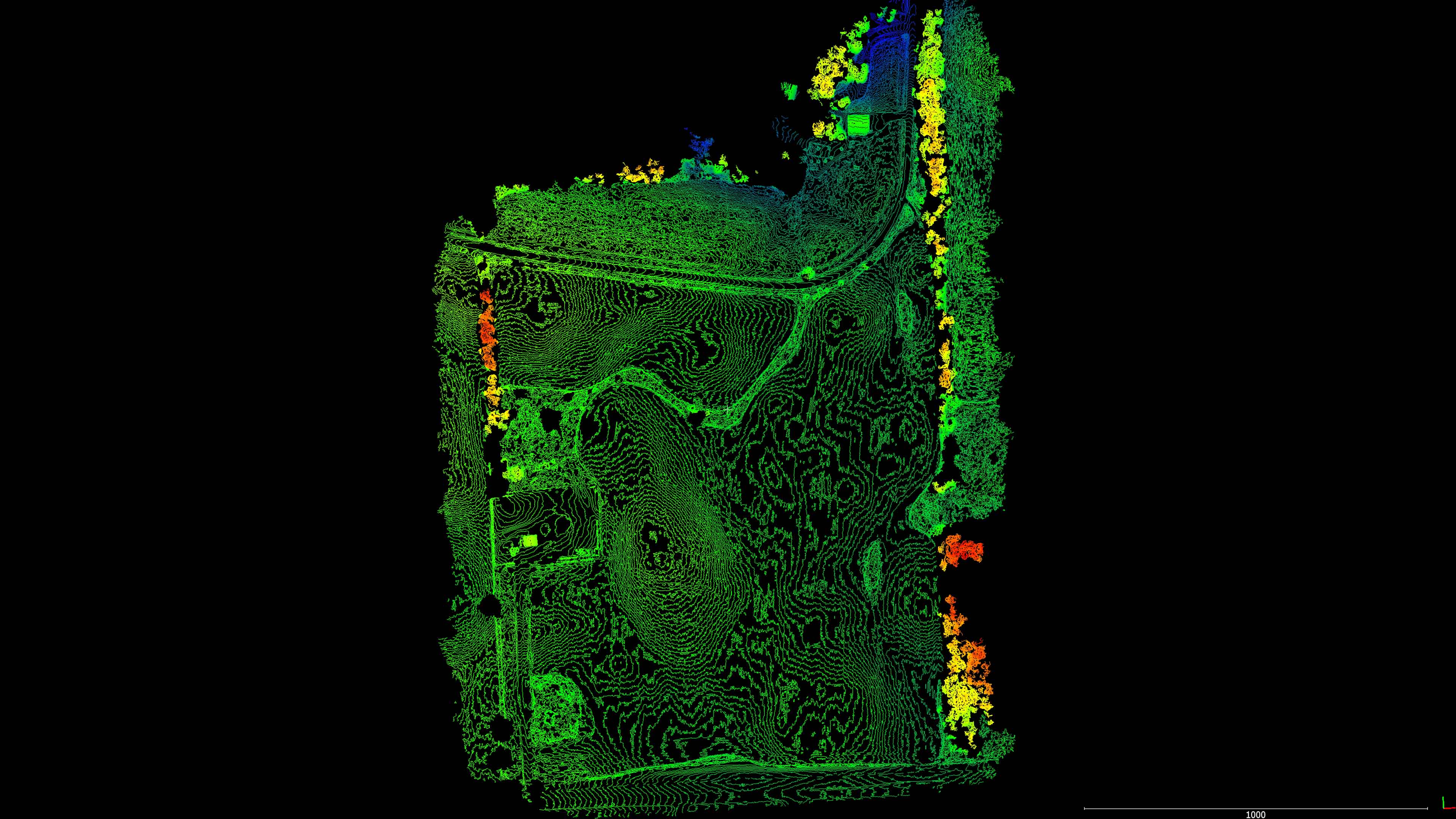
Baumberger Studio reached out to me recently for some flights of a site they are designing a building for near the PSU Campus.  For these flights they wanted very specific angles of the site both during the afternoon hours and at dusk when the lights start coming on in the buildings.  Fortunately for them there […]

UAV Roadway Mapping with S&F Land Services

Posted Posted in 3D Modeling, Aerial Services, Data Solutions, GIS Solutions, Photogrammetry, Survey

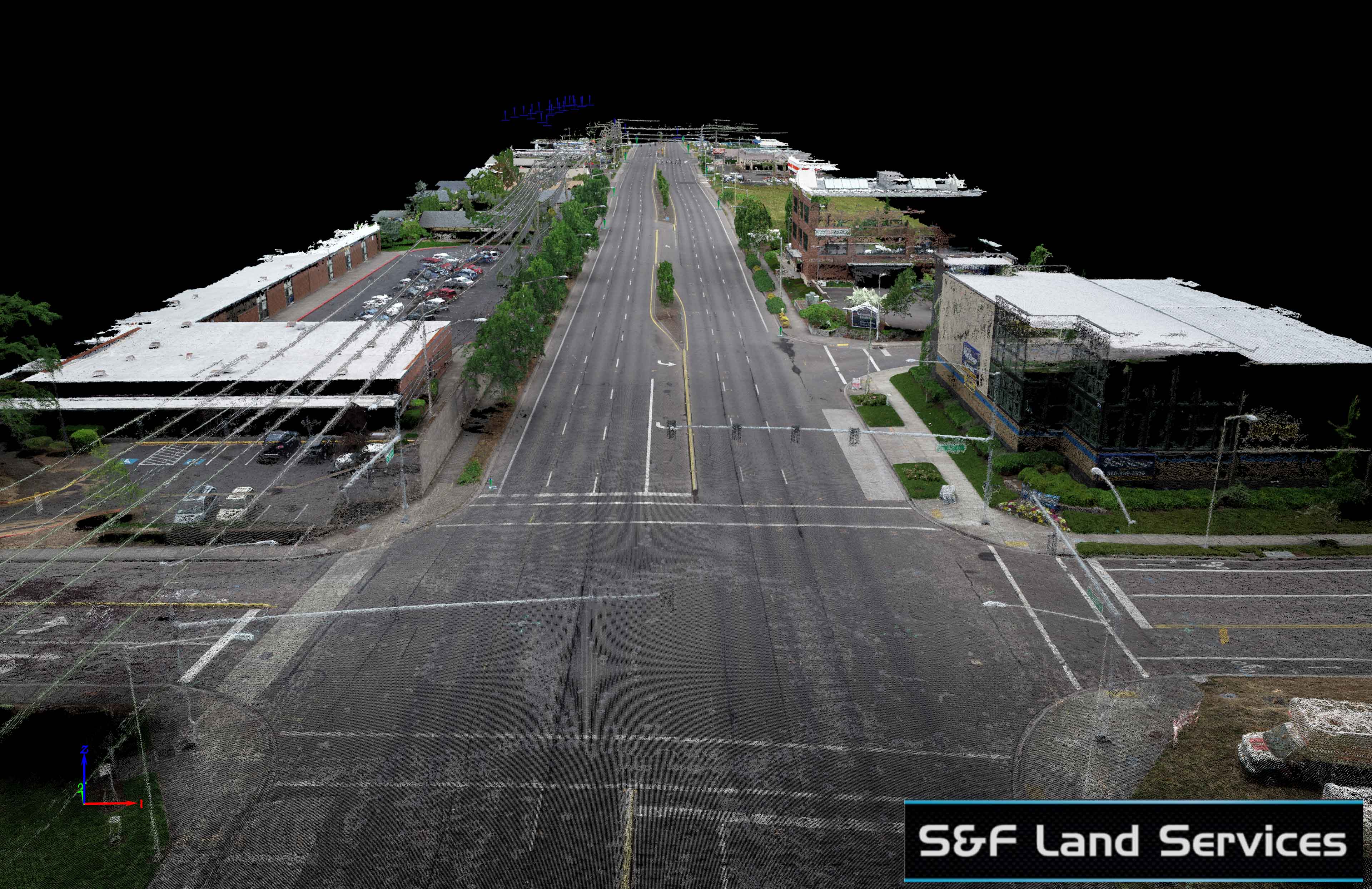
This week S&F Land Services had me fly 164th Street for the City of Vancouver.  This was a roadway project requiring a high resolution ortho as well as a surface model.  The roadway had a bunch of trees with canopies overhanging the road.  This meant that I had to plan my acquisition very carefully to […]

Minnesota Work with PDS

Posted Posted in 3D Modeling, Aerial Services, Data Solutions, GIS Solutions, Photogrammetry, Real Estate, Survey

I have recently entered into a partnership with PDS Drones of Minnesota to process the aerial imagery they capture into survey-grade 3D models and orthomosaics.  This was the first job I completed for them and it was a proof of concept for their client so I did my best to “wow” them with quality deliverables […]

Fernhill Wetlands

Posted Posted in Aerial Services, Inspections, Marketing, Photography, Real Estate

Topa3D has been growing in leaps and bounds over the past year and the owner Paul has been stretched thin on time.  This works out great for me as he sometimes will farm out local work to me to capture while he is out of town on bigger projects.  Such was the case this time […]

Trail Mapping with Terrestrial Photogrammetry – A Funny Tale

Posted Posted in 3D Modeling, Data Solutions, Photogrammetry

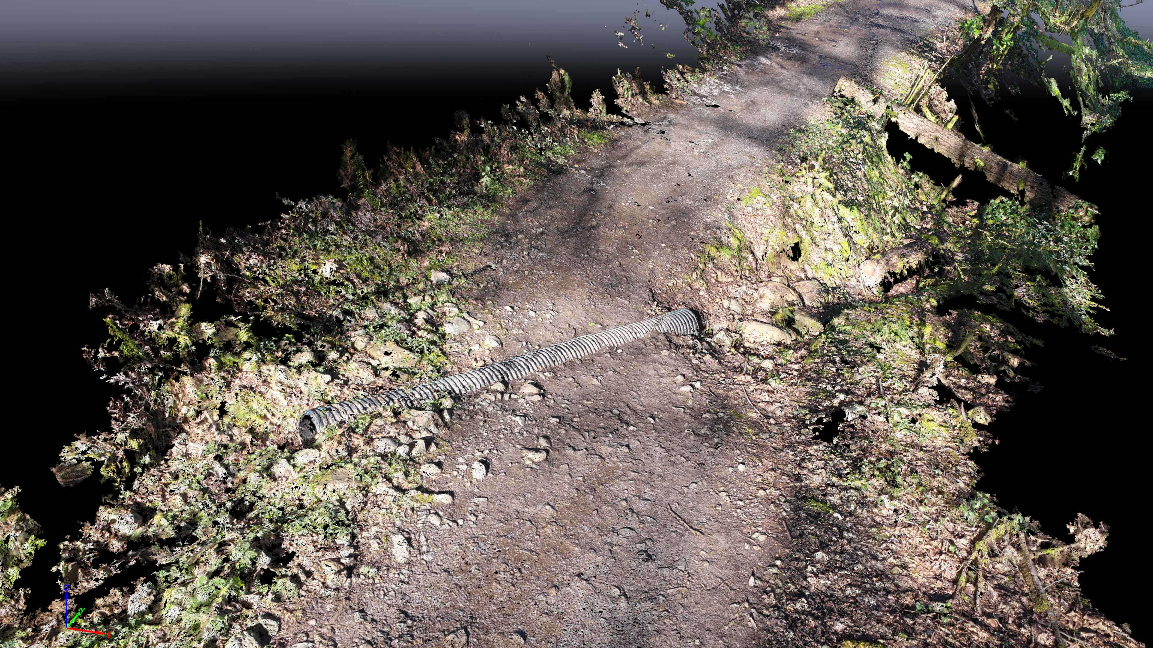
This spring I’ve been trying to develop a functional work flow for high quality terrestrial photogrammetry capture and processing using my new Nikon D850 and RedCatch Mono IMU/GNSS.  This first started off with the possibility of using a drone for trail mapping.  Brian from BD Aerial had successfully used this method to capture a PT […]