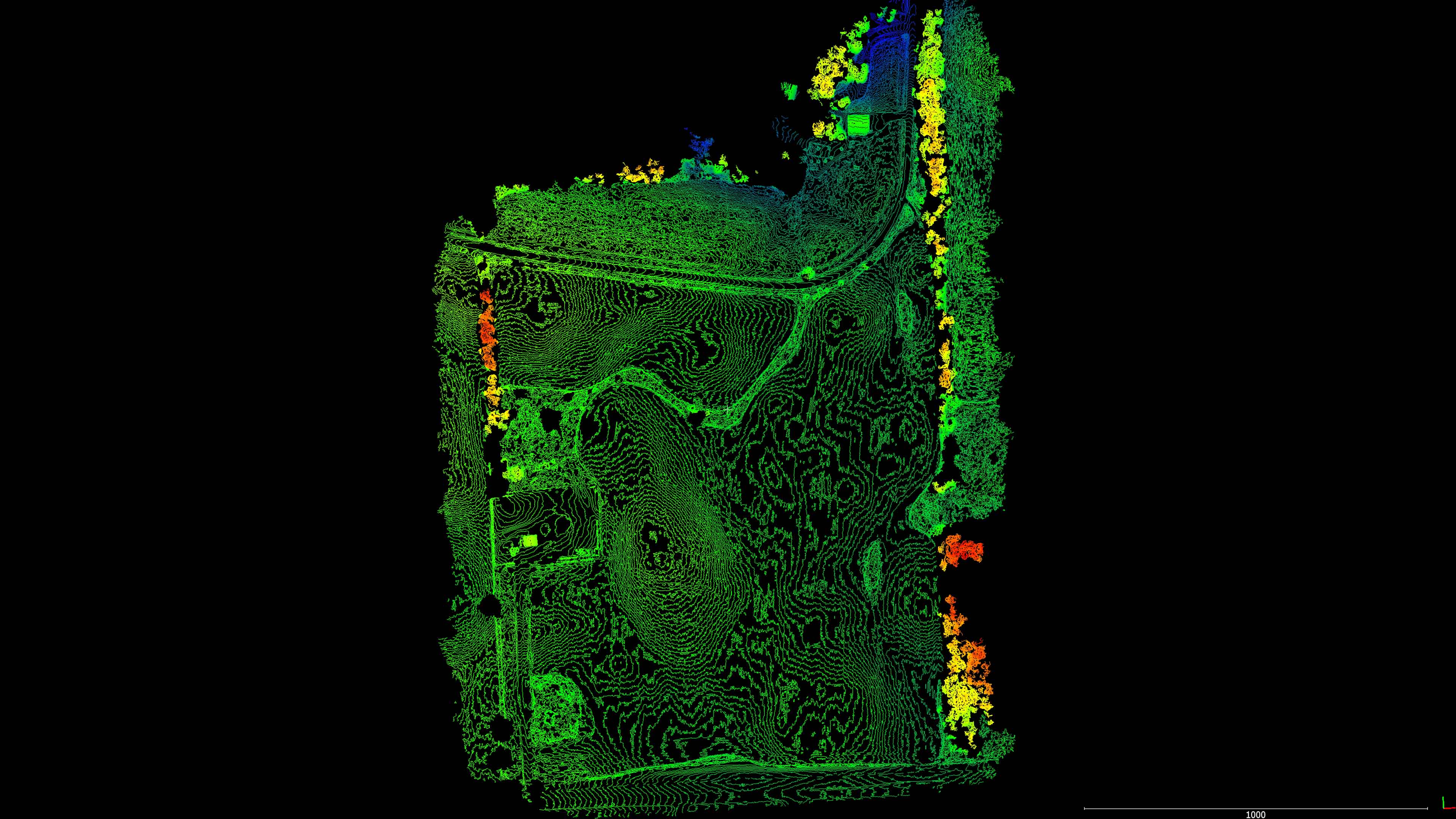
I have recently entered into a partnership with PDS Drones of Minnesota to process the aerial imagery they capture into survey-grade 3D models and orthomosaics. This was the first job I completed for them and it was a proof of concept for their client so I did my best to “wow” them with quality deliverables including a very accurate surface model created from an edited photo-derived point cloud where I removed all the brush and tall vegetation. I also exported out some foot and half foot contours of contrasting colors to overlay on the orthomosaic for clarity.

Aaron Panchalk of PDS drones is very enthusiastic about aerial mapping and surveying through UAV. They have some great gear including multiple platforms and sensors including aerial LiDAR capabilities. I and Eric of Northwest LiDAR Applications (he started his own LLC) look forward to working with Aaron on future projects.


Interactive 3D Model Below