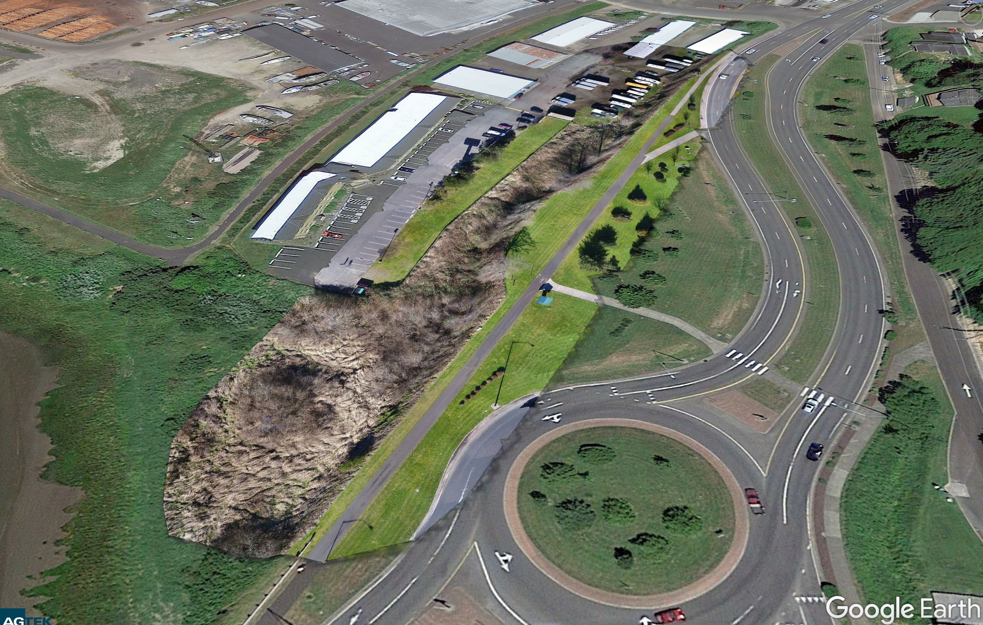
After spending all morning flying the Columbia Pilots Pier in Astoria Mike and I grabbed some lunch and headed over to the nearby Best Western to capture some quick aerials of the vegetation in front of the hotel. I of course would have been a little hesitant flying a drone around at roof level near a hotel but this time of year and midweek the hotel was completely empty so there was no issue. The flights only took about 20 minutes and I captured a bunch of NADIR shots to cover his area of interest. When I got home I ran the mission through Pix4D quickly without any ground control and provided Mike the orthomosaic as well as the Google Earth tiles which he found to be super helpful for his survey work demonstrating the various angles and distances on the site. It wasn’t survey-grade work by any means but I think Mike just wanted some shots to help with visuals for his work and these quick flights did the trick for him it seems.
Best Western Mapping for Magyar Surveying