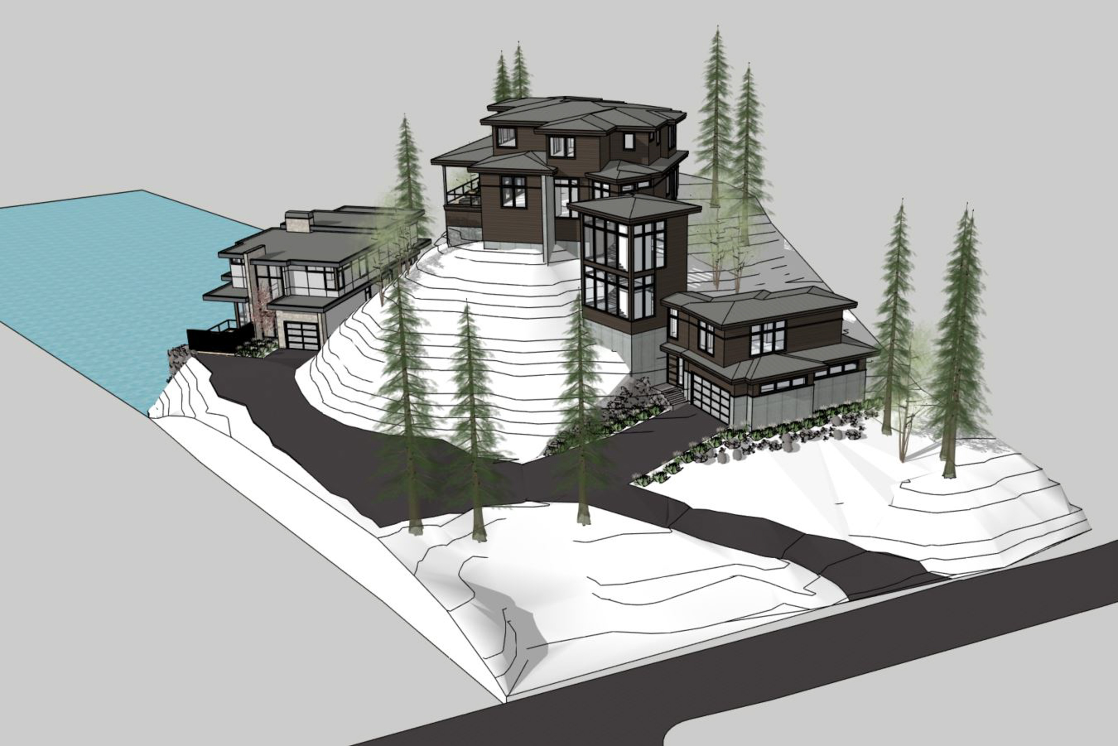
I’m labeling this project as such because it was the most difficult project site to capture thus far. My client, John from Riverland Homes of Lake Oswego asked me over the phone if I could fly a property for him that he was involved in designing a new property for. He sent along an exquisite 3D Model of what they are planning to build and to me it appeared to be the perfect property of hard surface rock and ground for Aerial Photography to make a super accurate surface model from. I quickly agreed to a price and even though he urged me several times to drive down to the site to check it out I got super busy and wasn’t able to get down there until the day of the shoot where I arrived to find what the photo shows below.

Obviously I should have visited the site and did more research before agreeing to make a photo-derived surface model for this property! But…. I like challenges, so I put on my big boy pants and gave this a go, first laying out nearly 20 aerial targets, then flying from on top of the rock pile next to the satellite dish. I flew a nadir mission first to capture the entire site before flying manually between the tree branches to capture as much of the ground as possible from every angle. Not only that but I had managed to time my acquisition on the same day as a heavy lifter was there moving giant boulders along the driveway access… So basically, everything that could be challenging about a site was right there for me, including a ton of poison oak all over the site! Just check out my photo locations in the photo below… I was literally flying in the trees!


In the end I did my best to capture the full ground and I got most of it except for some areas along the side of the driveway where the brush was literally too thick for me to either walk through or see through. With all the ground control air targets surveyed in for me we achieved a horizontal accuracy of under 1cm and a vertical accuracy of 1.3cm which is pretty spectacular geospatial accuracy for this very challenging site. John from Riverland was working with architects from the Portland based Olson Group. Just like with Jason at MCM Construction I provided them a wide range of point clouds, 3D meshes for the design software and top down 8 megapixel screen captures of the site with the tree canopy removed for them to accurately design upon.


Interactive 3D Model and Data Fly-Through Below