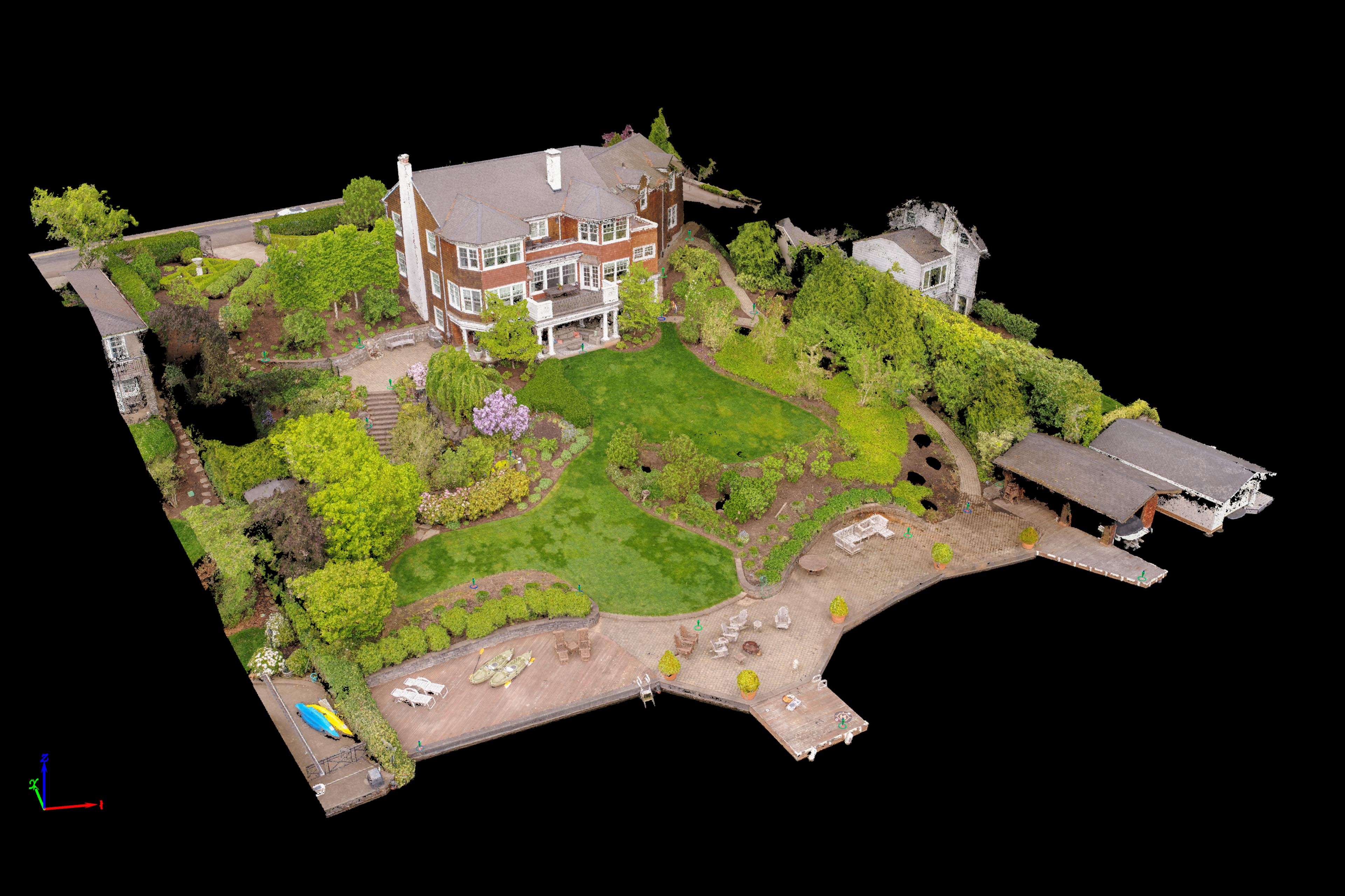
Once again I’ve had the pleasure with working with Jason from MCM Construction on a project. This time it was in combination with Lynn Wolfstone from Wolfstone Landscape Design. This was another property on Lake Oswego but unlike the Cliff Face property before this site had even more canopy to capture as well as a ton of very low, very thick landscaping vegetation. This property was going to undergo a major backyard design down to the waterfront with water features and other unique designs that Lynn was planning. I got to meet the owner and he seemed pretty interested about the methodologies I was going to use to accurately map the property in preparation for Lynn and Jason’s design work. Much like the cliff faces I have flown I had to fly this entire site manually and very carefully beneath the tree canopy in between branches. I put bumpers on the UAV to protect the props and had to turn off obstacle avoidance to be able to fly in such tight places. You can see from the image below I was capturing frames within the trees at a very low altitude. This was tricky… and ensuring that I got enough photos and angles to produce a comprehensive data set without holes was crucial to success.

Walk Through My Classification Progression With The Slideshow Below


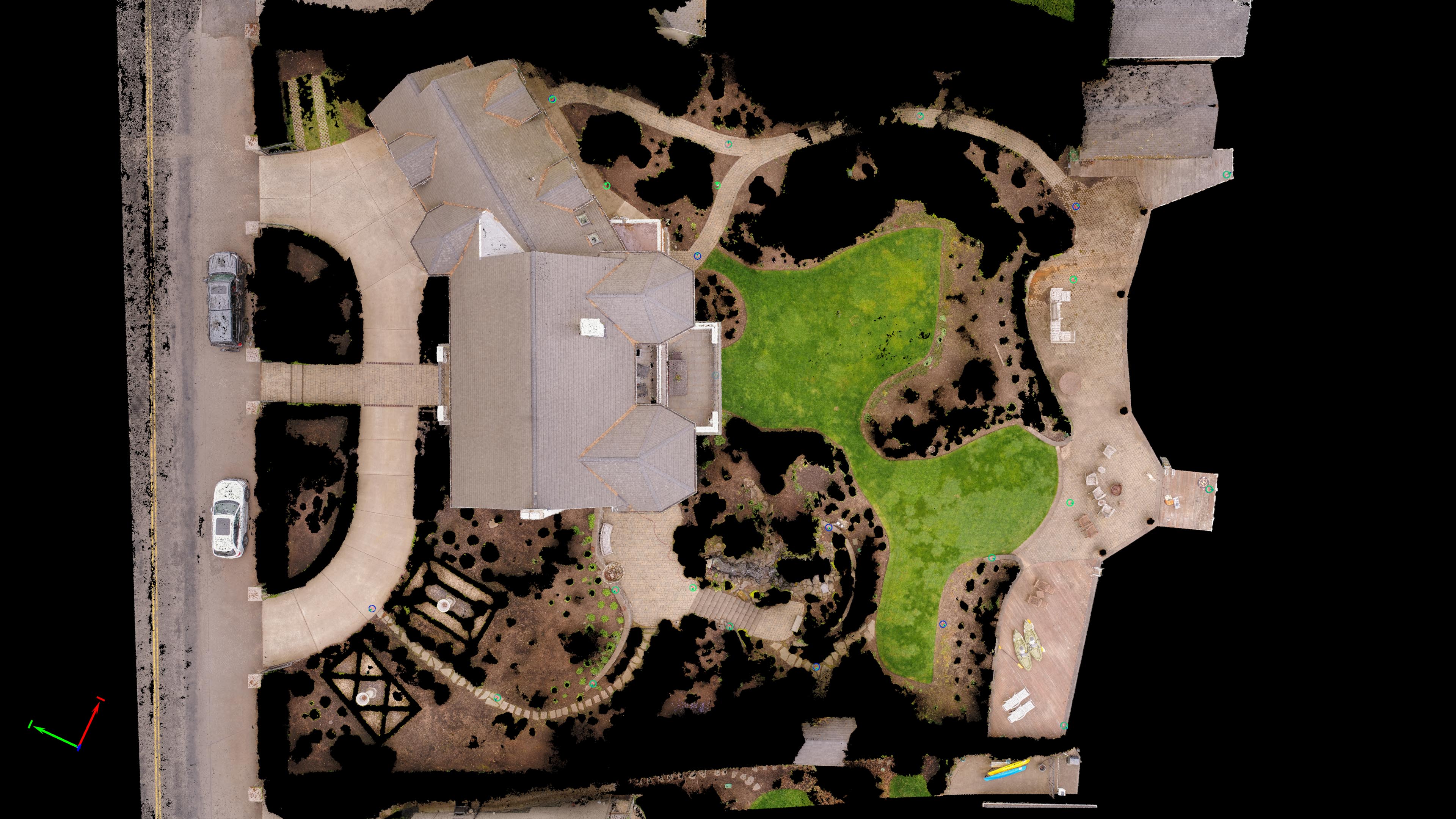
Walk Through My Classification Progression With The Slideshow Below – Top Down View


Walking around with Lynn and a surveyor from Andy Paris and Associates we set out a full 20 aerial targets around the property, three of which I used for an unbiased accuracy assessment. This was a bit more than I thought necessary but Lynn wanted to make sure we gathered very accurate elevation data throughout the property. Flights went well and a week later I had a 3D point cloud model of over 31 million colorized points with an XYZ accuracy of under a cm for the entire property. Having learned from our R&D work at the cliff face property I was able to quickly produce a wide range of point clouds and 3D meshes for both Lynn and Jason to design upon.
Interactive 3D Model and Data Fly-Through Below
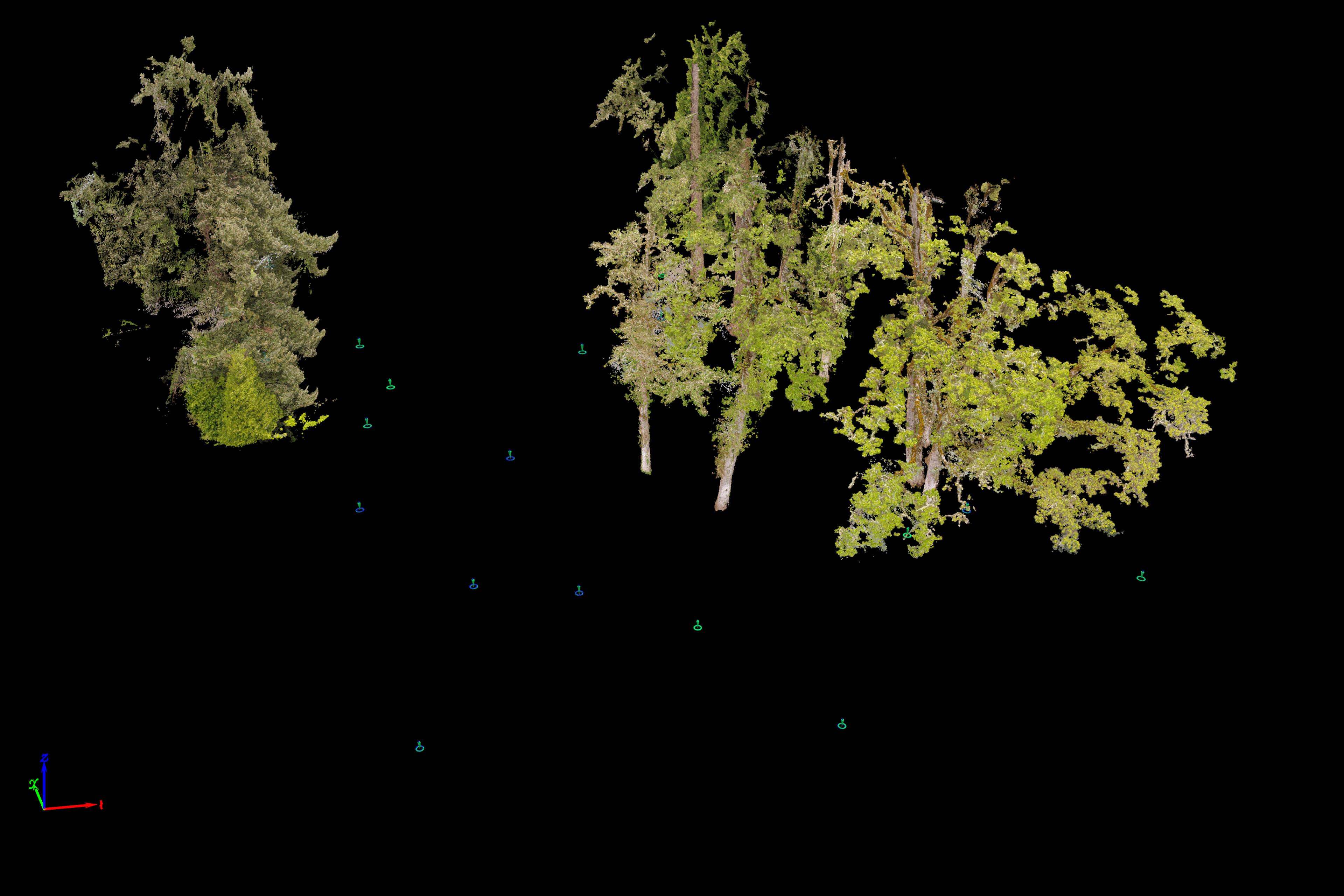
And for fun… her is one of just the low vegetation I think is cool to see.