This week I flew the old Troutdale Sewer Plant for Mike Magyar. I’m not sure what the plans are for the site but it has been out of use for years and as Mike put it, “the property looks like a post-apocalyptic waste land”. Indeed, when we arrived Mike took me on a walk of the property and all the abandoned buildings were filled with trash and graffiti, clearly a gathering place, home for a lot of “homeless” people. Knowing that the property would be sold / rebuilt into something new I felt bad for the displacement of all the people that had called the site their “home” for so many years.
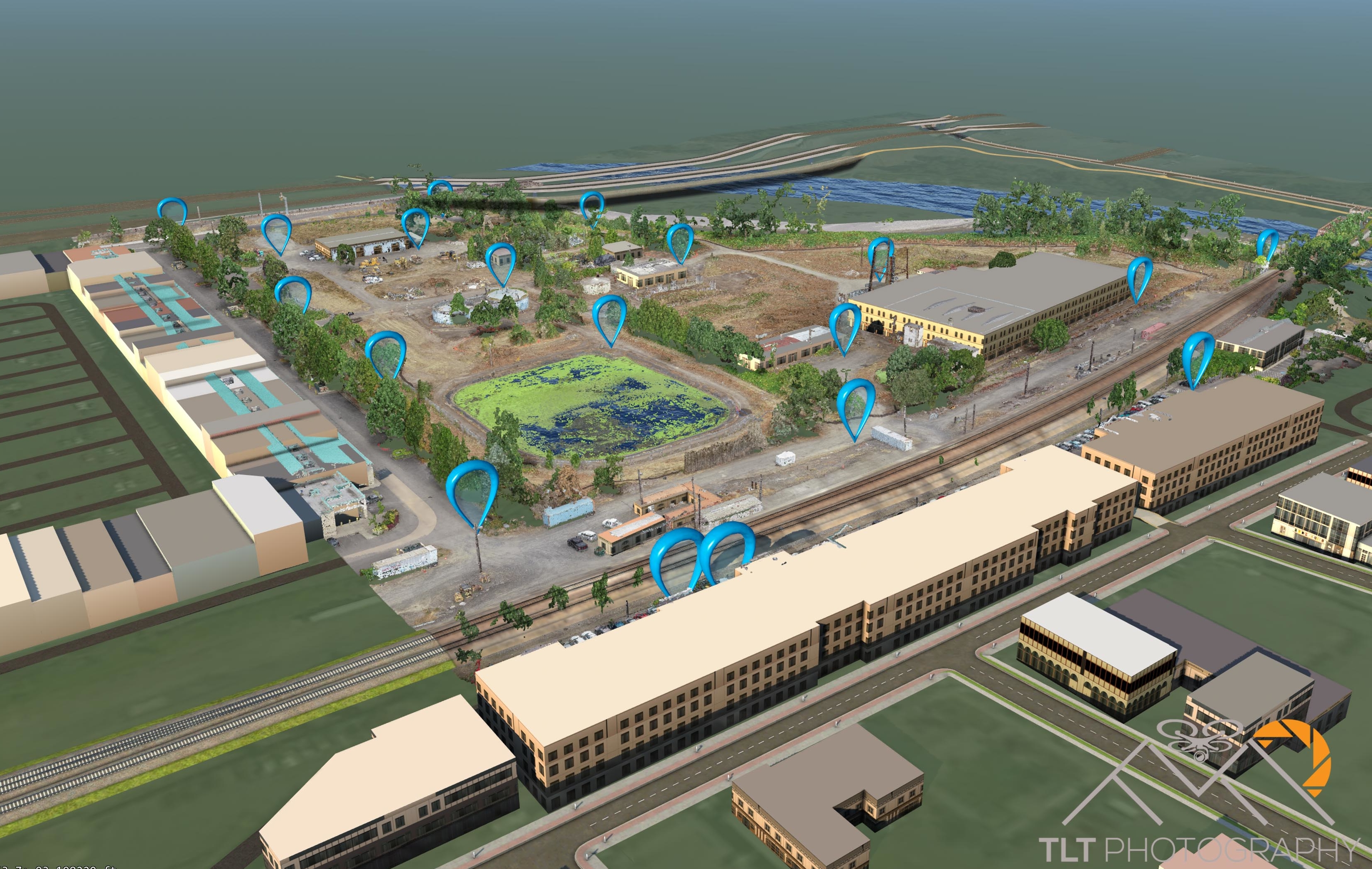
There was a large water tower on the property so I took a reading of how high it was before finalizing my flight plans. It was about 135 feet tall so I decided to plan my missions for 150 feet which would keep me safely clear of the tower. Flying at this height I captured over 1400 frames for the site which gave a GSD of half an inch. With the 18 air targets laid out by Mike and I we ended up with RMS accuracy values of half inch horizontally and 1.25 inch vertically for the site. Not too shabby.
One of the main purposes of this initial flight was to get a baseline surface model for the upcoming changes that would be happening to the site. This included getting a baseline of the water height for one of the retaining ponds. I was able to achieve this to within a quarter foot of accuracy as the pond was being drained as I was flying! There was a lot of vegetation on the site including very thick blackberry bushes along the river. I spent a great deal of time going through the point cloud and hand classifying out the buildings and vegetation to produce the best set of “ground” points for the hard surfaces that I could. I then ran these points through several noise filter algorithms to clean it up before creating the surface model with CAD software.
I plan to fly this site at least twice more as the renovation progresses.


