This week I joined one of my partners for a trip to try to model what I call the “holy grail” of aerial photogrammety. I have been developing a workflow of using terrestrial photogrammetry and a series of software suites to automatically model intricate lattice structures without the typical noise associated with photogrammetry projects of such objects. But I had been doing my tests on a 20 foot wooden telephone pole at the end of my street. I had shared some of my progress with my partner and they were very impressed. Next thing I know they’ve invited me along on a trip to capture 1,500ft tall steel radio antennas! Quite a jump from a wooden telephone pole! Thankfully, they were also going to fly the towers with a UAV LiDAR system so I was hopeful that would be enough to impress their client. I made it as clear as I possibly could that the likelihood of successfully doing it with photogrammetry was very slim, but they agreed it was worth a go and off I went!
I can’t go into details about where these towers were, who the client was or anything as I’m under an NDA but I can share a little bit about what I tried. As others were capturing LiDAR at over 1800ft (legally can fly within 400ft of the top of the towers) I was off on the ground circling the towers with my DSLR and RedCatch Mono IMU/GNSS unit taking a photo every 20 steps or so as I walked around each tower. Walking around the circumference of the guy lines coming off just one of the two towers took nearly an hour and was over 2.5 miles of distance! I didn’t even have time to try the other tower before the trip was over and we were headed home! All in all we captured one of the towers very well from the ground, from the sky and with LiDAR as well. Unfortunately, the client wasn’t interested in georeferencing the data so we didn’t use any aerial targets or GCPs which ultimately probably would have helped tie the data together a bit better.
Back at home I spent two full weeks trying everything I possibly could think of to make tie together both the aerial as well as the terrestrial photo data sets into a useable 3D model. I made a little bit of progress as you can see from below capturing the towers as well as a few of the guy lines but ultimately either the resolution wasn’t crisp enough because we flew to far away (hard to fly close without hitting the guy lines) or we just didn’t capture enough imagery. We had also flown other smaller antenna’s on the site and I had walked around them as well with my camera set up. Unfortunately, these did not come together well either. I think one of the issues is the huge difference between the detailed texture of the wooden telephone pole I modeled vs the homogenous steel nature of the antennas. I don’t think the software had enough texture to tie points together and the cables from such a distance flying or from the ground were just too thin to tie together as well.
In the end it was a learning experience for all. I believe we had enough deliverables with the LiDAR that was captured (which produced great models of the antennas but also missed capturing the guy lines and buckles on the guys lines). My partner also was able to capture all the guy lines and buckles of one tower with their amazing zoom lens giving the client hi-res smooth video inspections of each one. That alone made our trip worth it for the client as they will save a ton of money using that video to inspect the hardware closely. I’m writing this post in November catching up on my project posts and since processing this data in August I have run it through 3 other photogrammetry suites other than Pix4D all with poor results. A lot of people in the UAV industry go around saying that UAVs are the solution to everything and that anything can be modeled. Here is a great example of where technology just isn’t there yet.
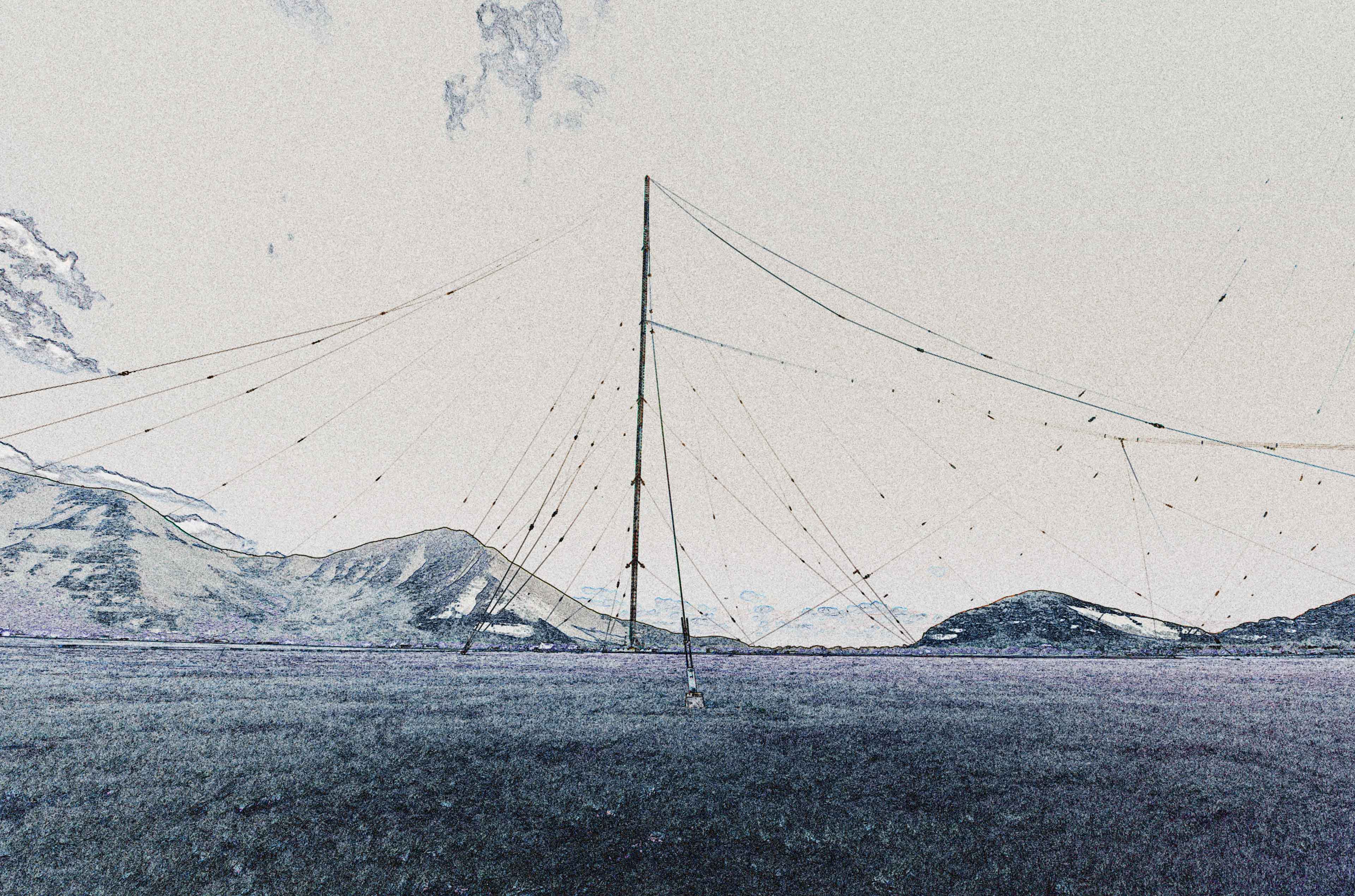
Below is the typical result one would get out of a modern day photogrammetry software like Pix4D when the sky is left in the background.

I then tried a technique of masking out the color of the sky.

Which gave me this result

To which I worked some magic to get this

Of course that wasn’t a deliverable quality and was missing a ton of guy lines, buckles and even the very top of the tower. Working a bit more on it and using the aerial flights I was able to come up with this as the best case scenario using the imagery.

The LiDAR here provided much better structures but again missed out on the guy lines.

Another angle of the best that could be produced from photogrammetry.

And the best of the photogrammetry combined with the LiDAR on top of a NADIR orthomosaic that was produced.

