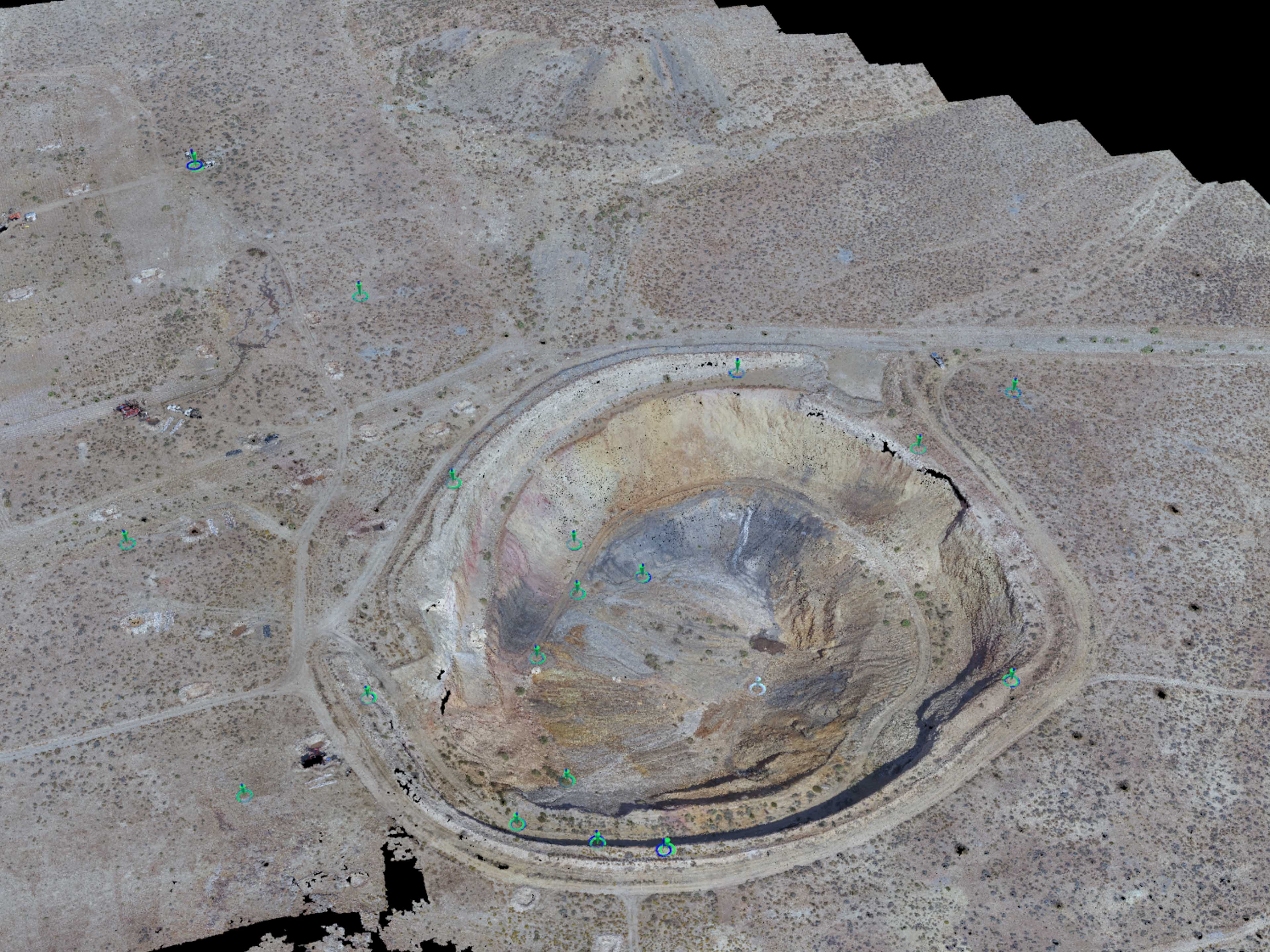
For the past week or so I have been doing some work for Avisight out of Las Vegas, NV. The company has been flying drones for a while but they are now getting into UAV Mapping with photogrammetry and very expensive LiDAR sensors. They even purchased a full system from Phoenix Aerial Systems out of LA that Eric has been working with. This first project was to help them with data processing for a Gold Mine in the Southwest. It was a challenging project where Eric and I had the pleasure of working together again on data pairing the photogrammetry work with the LiDAR that was collected. The Avisight guys area great and I hope to get more work with them in the future.
Gold Mine Photogrammetry and LiDAR Work