
I’m very proud of this project. Not only was a it a challenging acquisition with tall trees and heavy traffic but I also encountered some difficulty figuring which side of some painted lines were surveyed during acqusition. Once again I teamed up with Chris Sherby at S&F Land Services for this project.
Because I don’t yet have a waiver to fly over moving vehicles or pedestrians I was forced to plan intricate flight line missions to the sides of the roadway, specifying in an iOS drone app for the sensor to take a photo at a specific angle at each waypoint. This took hours to plan and when we flew the missions early in the morning on August 16th I ended up requiring more fligh time than I had anticipated. This forced me to run into a gas station to charge batteries between flights. Yet again, a valuable lesson learned and I have since purchased 2 more batteries for a total of 4 batteries for the Phantom 4 Pro and with a few more contracts I hope to purchase THIS so that I can charge in the field discretely when I need to.
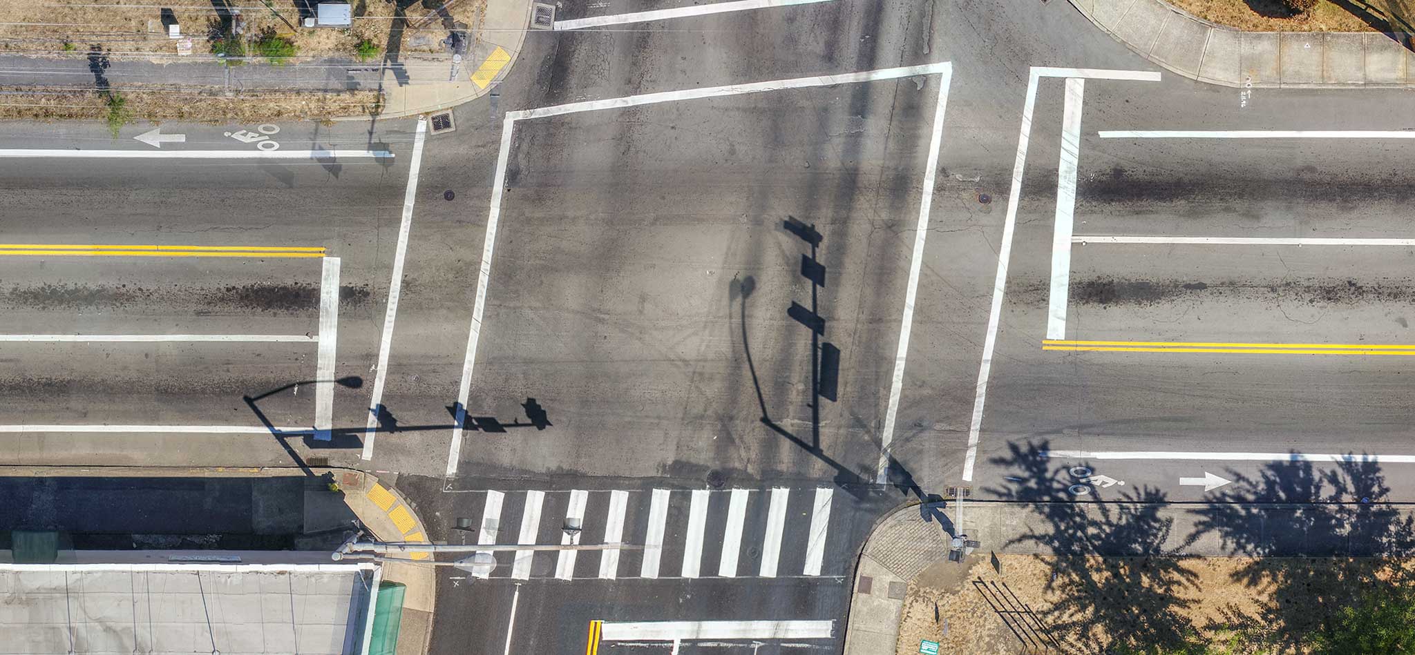
For this job I captured a total of 660 images at around 70 to 80 feet with a pixel width of 0.23in. This created a point cloud of over 137 million points with an average density of 1,700 points per square meter. I was able to create a fantastic ground model from the data set with only about 5% missing data under very low lying branches that S&F filled in with survey. The model produced by the UAV also matched the traditional survey extremely well. 39th street was also an extremely busy street with well over 100 cars passing by during acquisition. Below is a dynamic pan across the final orthomosaic I produced. It is a single GeoTiff with all moving cars on the roadway removed.