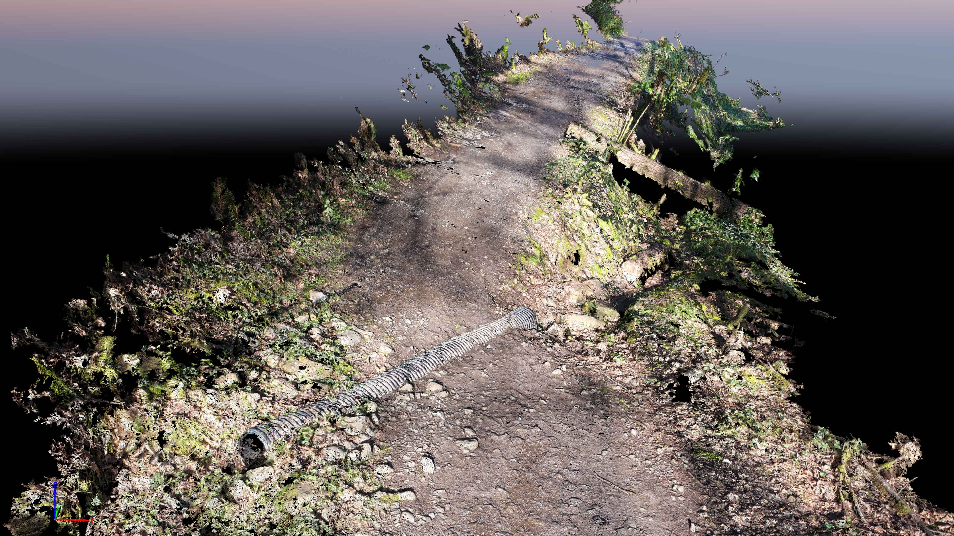
TLT Photography in collaboration with Magyar Surveying are in development of a new very cost-effective data product for mapping underneath dense tree canopy. This product could be used for trail assessment, above ground piping routing, vegetation and stream studies, etc. This technology has the potential of capturing several miles per day of trail at sub-cm resolution. Organizations that may be interested in this product include the USFS, NPS, Department of Transportation, USFWS, etc. Attached to this post is a teaser. Stay tuned…
New Data Product Development