Survey-Grade Right of Way Surface Modeling with UAS
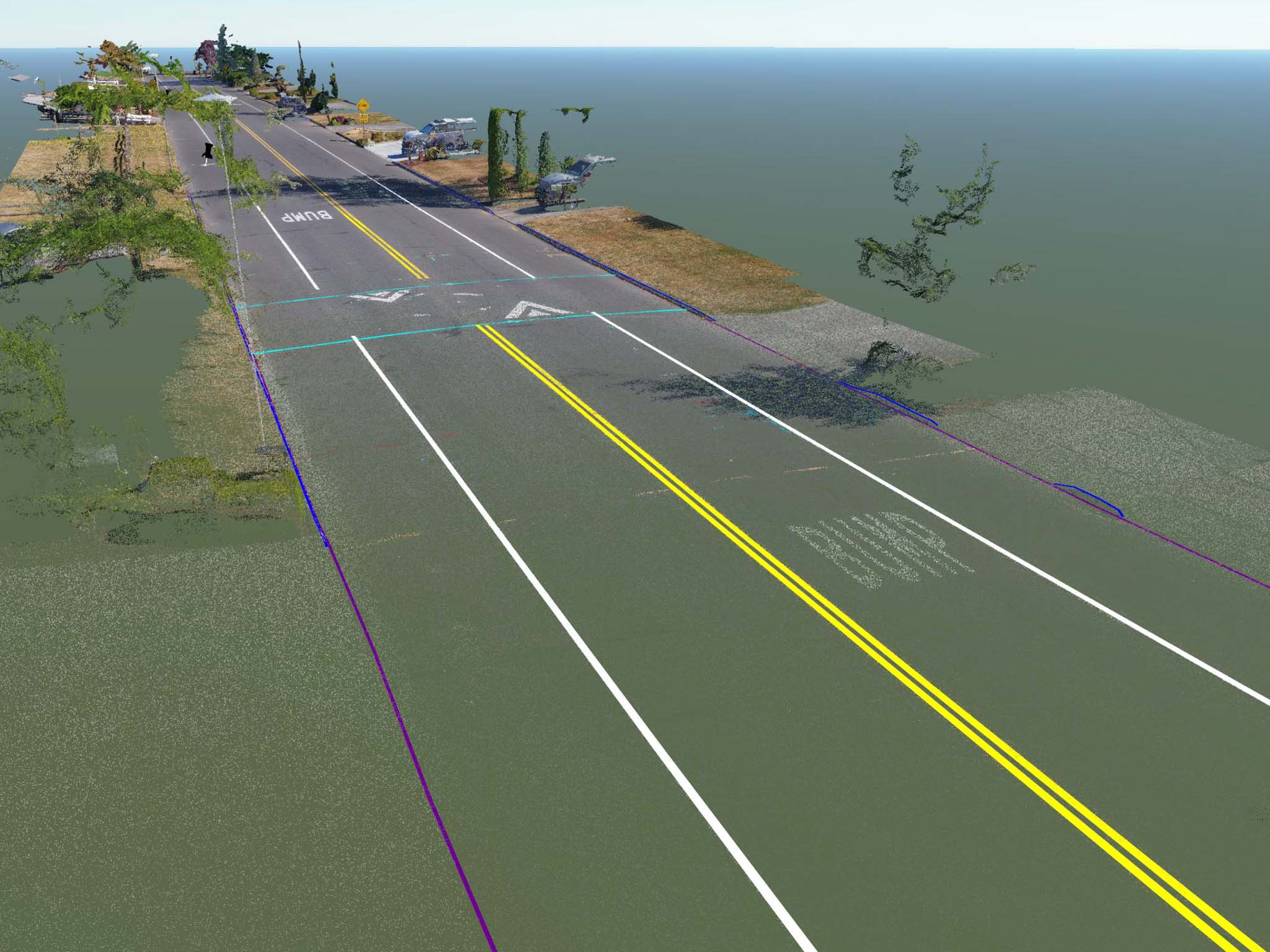
Throughout this summer I have been working with several survey partners to develop a new methodology for cost-effective and accurate right of […]
Throughout this summer I have been working with several survey partners to develop a new methodology for cost-effective and accurate right of […]