3D Terrain Visualization From UAV (Drones)
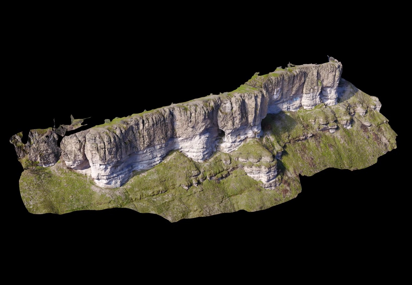
Ultra high-resolution 3D terrain models produced by modern photogrammetric software from aerial imagery captured by UAV is nothing short of stunning. No […]
Ultra high-resolution 3D terrain models produced by modern photogrammetric software from aerial imagery captured by UAV is nothing short of stunning. No […]