An Emphasis on Safety & Privacy

Posted Posted in Action Sports, Aerial Services, Inspections, Marketing, Real Estate

Today I submitted my FAA waiver application to fly over moving vehicles and pedestrians. In doing so I supplied a wealth of supporting materials showing that safety is the #1 priority for TLT Photography when acquiring aerial data by UAV. Over the past few weeks I’ve developed a whole set of both safety and privacy […]

Chenoweth Cliffs 3D Terrain Model

3D Terrain Visualization From UAV (Drones)

Posted Posted in 3D Modeling, Aerial Services, Data Solutions, Inspections, Photogrammetry

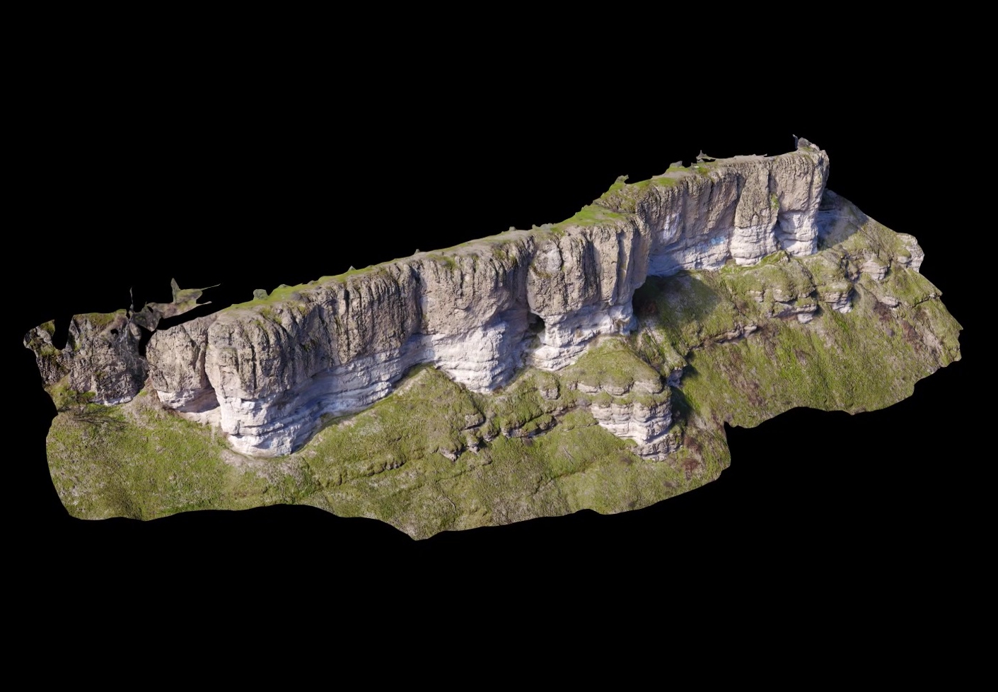
Ultra high-resolution 3D terrain models produced by modern photogrammetric software from aerial imagery captured by UAV is nothing short of stunning. No longer do you need a million dollar lidar sensor mounted to an aircraft to achieve the point density necessary to make detailed sub-cm models of geological features. Geological applications of such models include […]