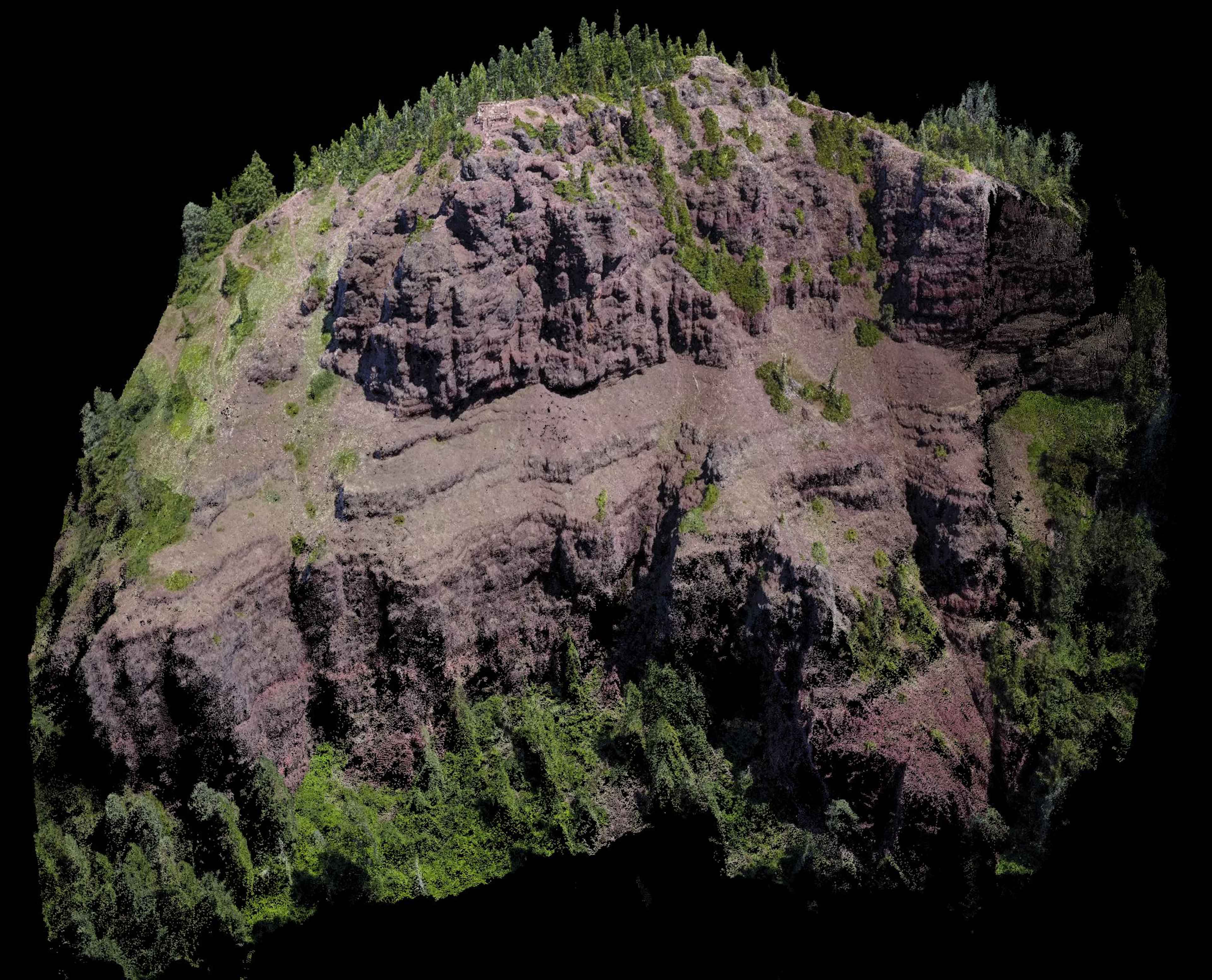
Recent 3D Terrain Models

Posted Posted in 3D Modeling, Adventure

Whenever I venture into the outdoors I always acquire both imagery and video at the highest resolutoin that my devices allow. For my drones this means 4K UHD Resolutoin at 30fps for my Mavic Pro and 60fps for my Phantom 4 Pro. Unfortunately, the Phantom 4 Pro is too big to carry with me on […]

Chenoweth Cliffs 3D Terrain Model

3D Terrain Visualization From UAV (Drones)

Posted Posted in 3D Modeling, Aerial Services, Data Solutions, Inspections, Photogrammetry

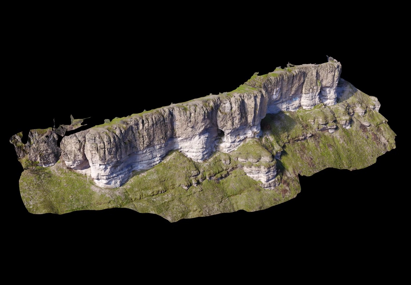
Ultra high-resolution 3D terrain models produced by modern photogrammetric software from aerial imagery captured by UAV is nothing short of stunning. No longer do you need a million dollar lidar sensor mounted to an aircraft to achieve the point density necessary to make detailed sub-cm models of geological features. Geological applications of such models include […]