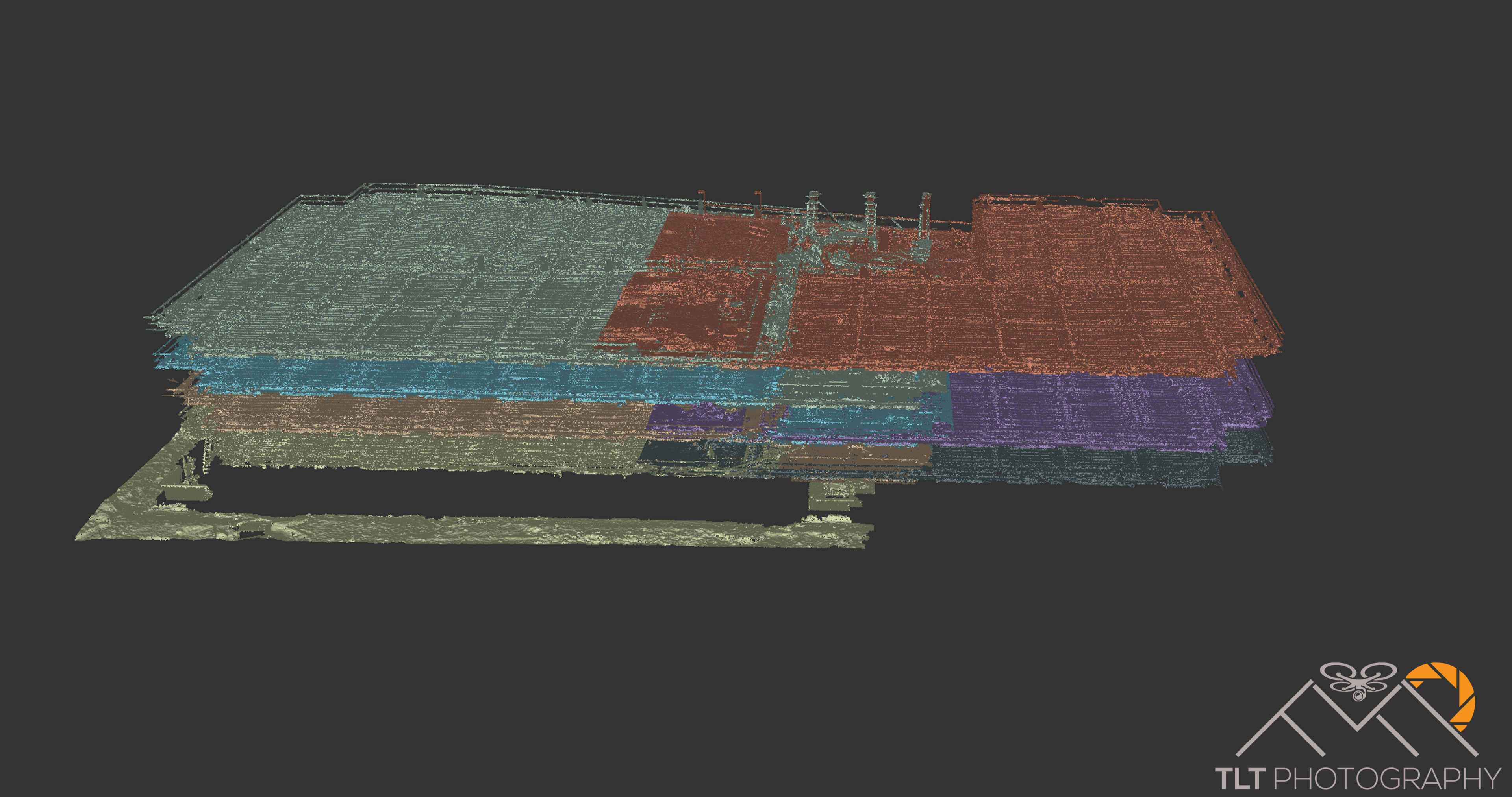
This week I completed the final processing for the last post-tension slab pour of a building for BD Aerial. Because of NDA’s in place I can’t reveal who we were working for or where the building is located. Each week I traveled out to the site and flew a deck before they poured the cement. Before each pour the company would lay out iron-cross type air targets for me distributed evenly throughout the deck. These provided a way for me to georeference the data to their local coordinate system which seems to be the standard for each construction site. This was the first project we worked on that captured every single floor of the building going up and below are some screen shots of the final 3D model of the building with each floor representing two different PT slabs we flew. For this site we were averaging under a half cm for pixel size and were nailing ridiculous sub-cm horizontal and vertical accuracy because they used prisms and total stations in a local coordinate system to survey our air targets in, thereby eliminating the uncertainty of GPS error. Imagery below.


