This week I flew a natural gas relay station for S&F Land Services. To protect the interests of their client I can’t share where the facility is or any information that I captured of the facility. I do feel comfortable sharing a few screen shots with name and geospatial data stripped out that are about the same as what you can see of the site on Google Maps anyway.
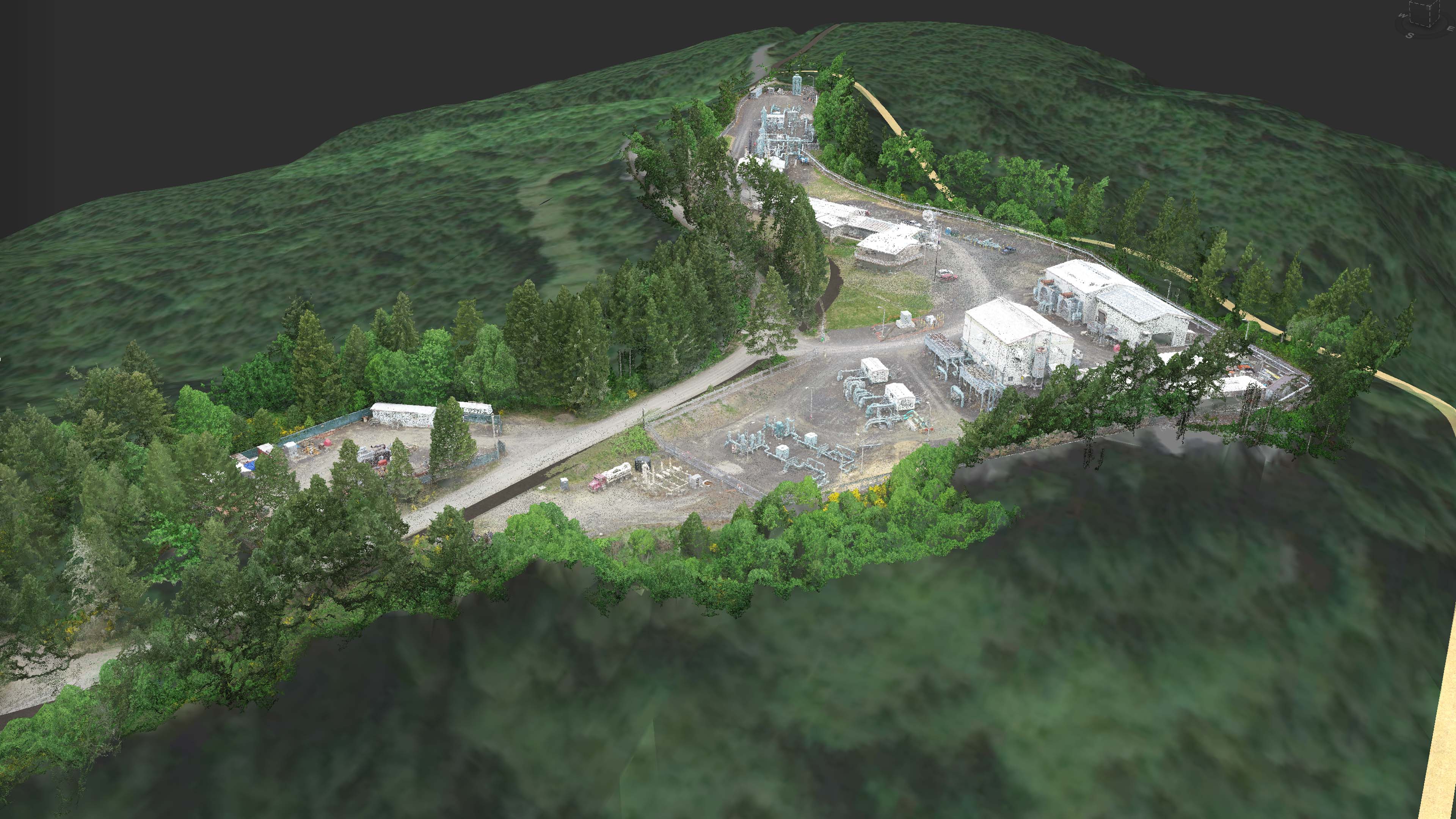
Even though this site was very small I flew the heck out of it (see above photo of frame capture locations) to make sure I captured all the building facades, pipes, and details of the site for the client as well as for best results for drafting from the 3D point cloud. I flew two nadir missions as well as 4 missions with the camera pointed at an oblique angle and because I flew from about 150 feet I was able to capture sub-cm resolution imagery for the client as well. Once again, with the amazing clarity of the 3D point cloud of over 40 million points I was able to accurately digitize fences, building edges, and roads underneath and trees and overhanging roofs.

