My name is Jonathan Ellinger and I'm an outdoor enthusiast, photographer, and professional photogrammetrist/data scientist living on the north coast of Oregon.
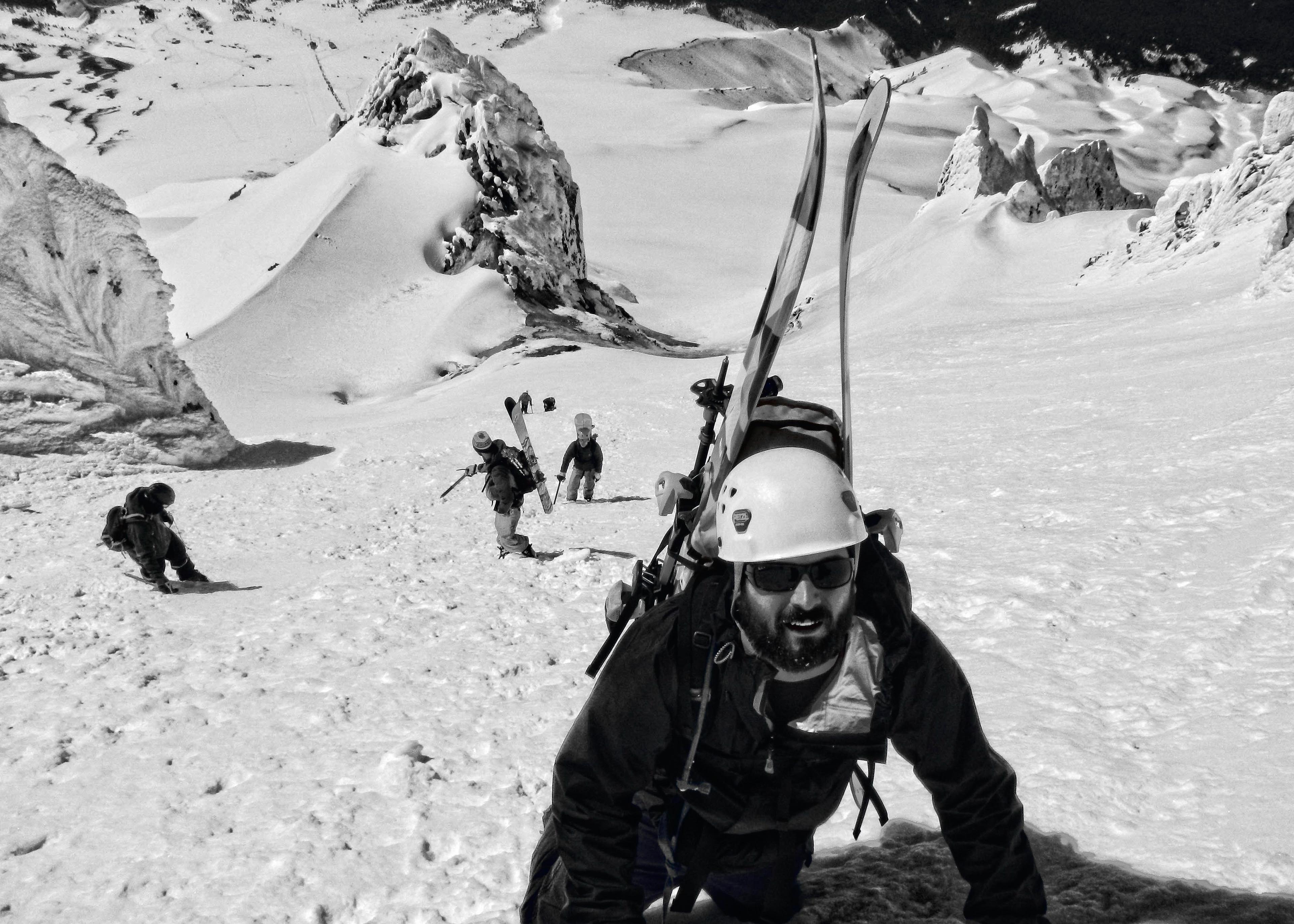
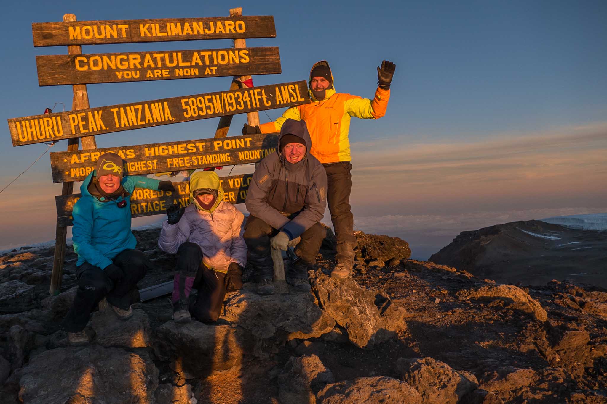
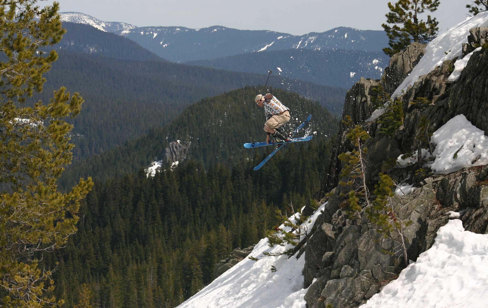
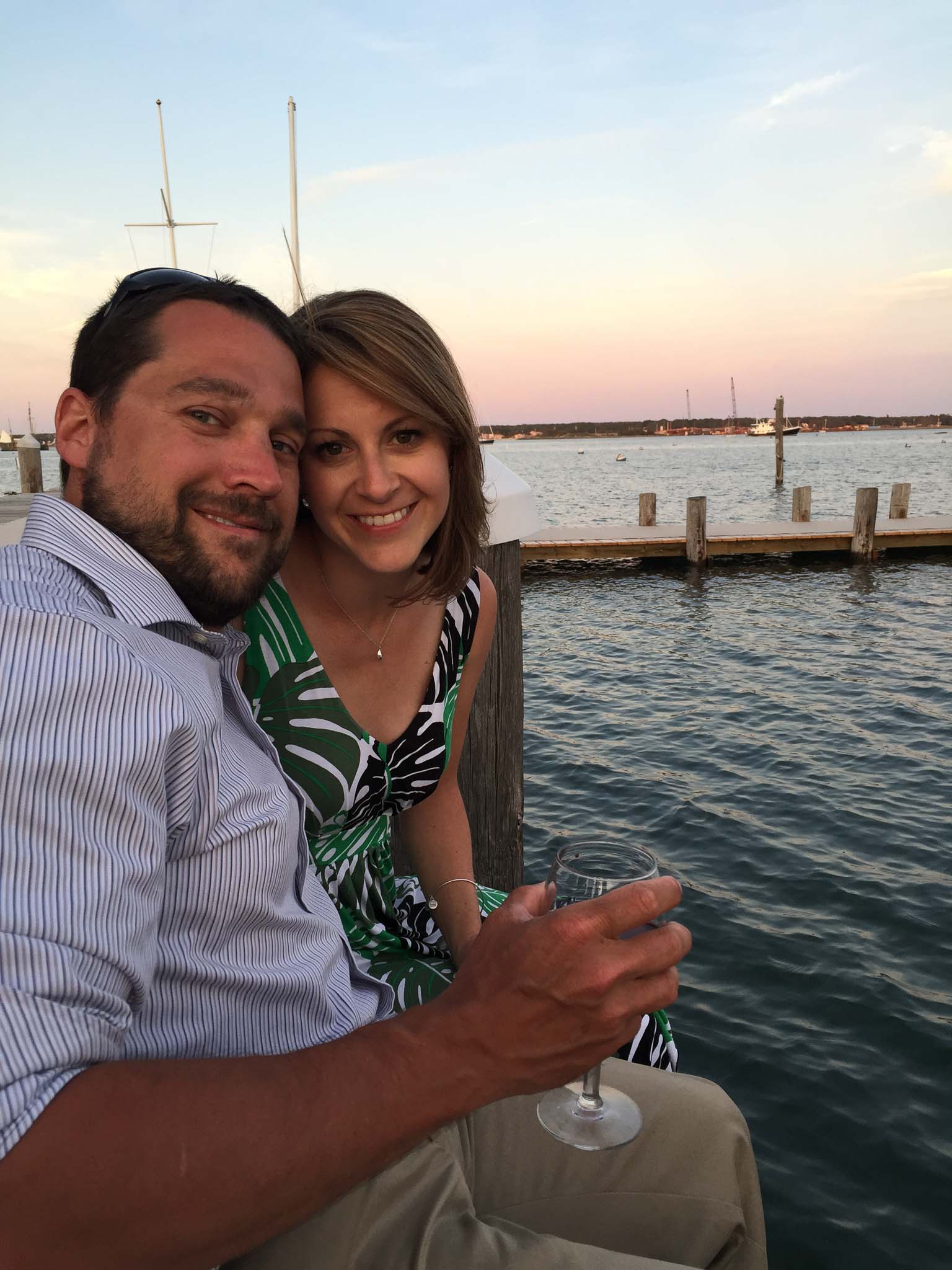
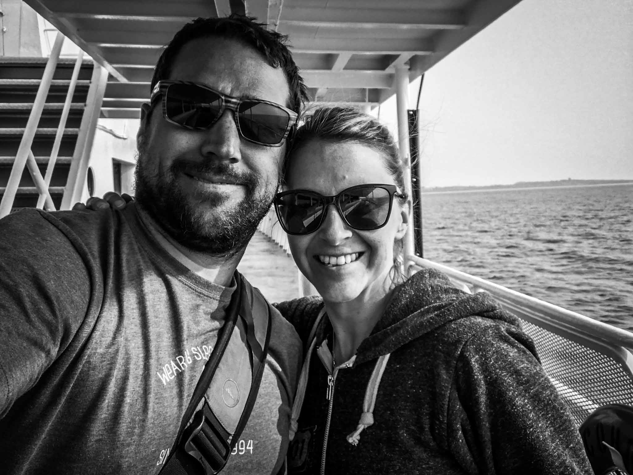
I grew up in Lake George, New York where I discovered my love for the outdoors hiking in the Adirondacks. I continued my education at Bowdoin College in Brunswick, Maine with a degree in Geology and Environmental Studies. In my youth I was an avid "peakbagger" finishing the Adirondack High Peaks 46 at 18 and the Northeast 115 in 2006 (peaks above 4,000ft). During my last summer in upstate NY I met my wife, and love of my life, Emily who joined me in finishing my list on Mount Washington in a torrential rain storm. Despite being cold and soaked, I knew from her big smile and positive attitude in the situation that we would spend the rest of our lives together. In 2006 I moved to Corvallis, Oregon to pursue a Masters Degree in Remote Sensing at Oregon State University. While at OSU I began my career in aerial mapping at Watershed Sciences processing aerial photo, thermal, and LiDAR datasets. After several adventurous visits to Oregon Emily moved to Corvallis in 2008. Shortly after obtaining my Masters Degree in Geography and Remote Sensing we moved to Northeast Portland, Oregon.
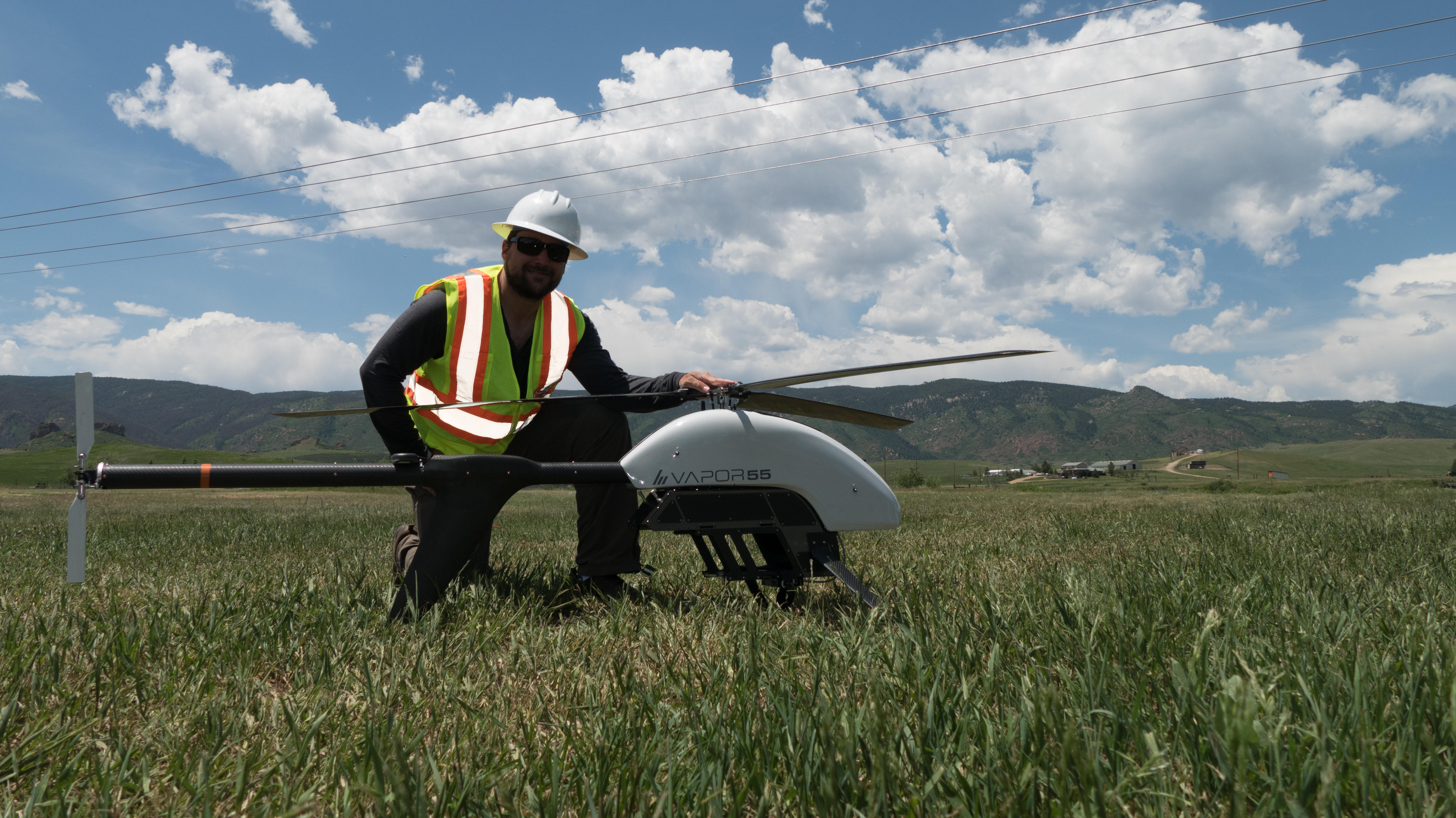
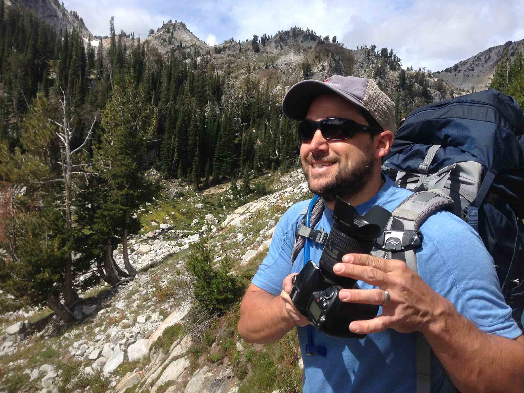
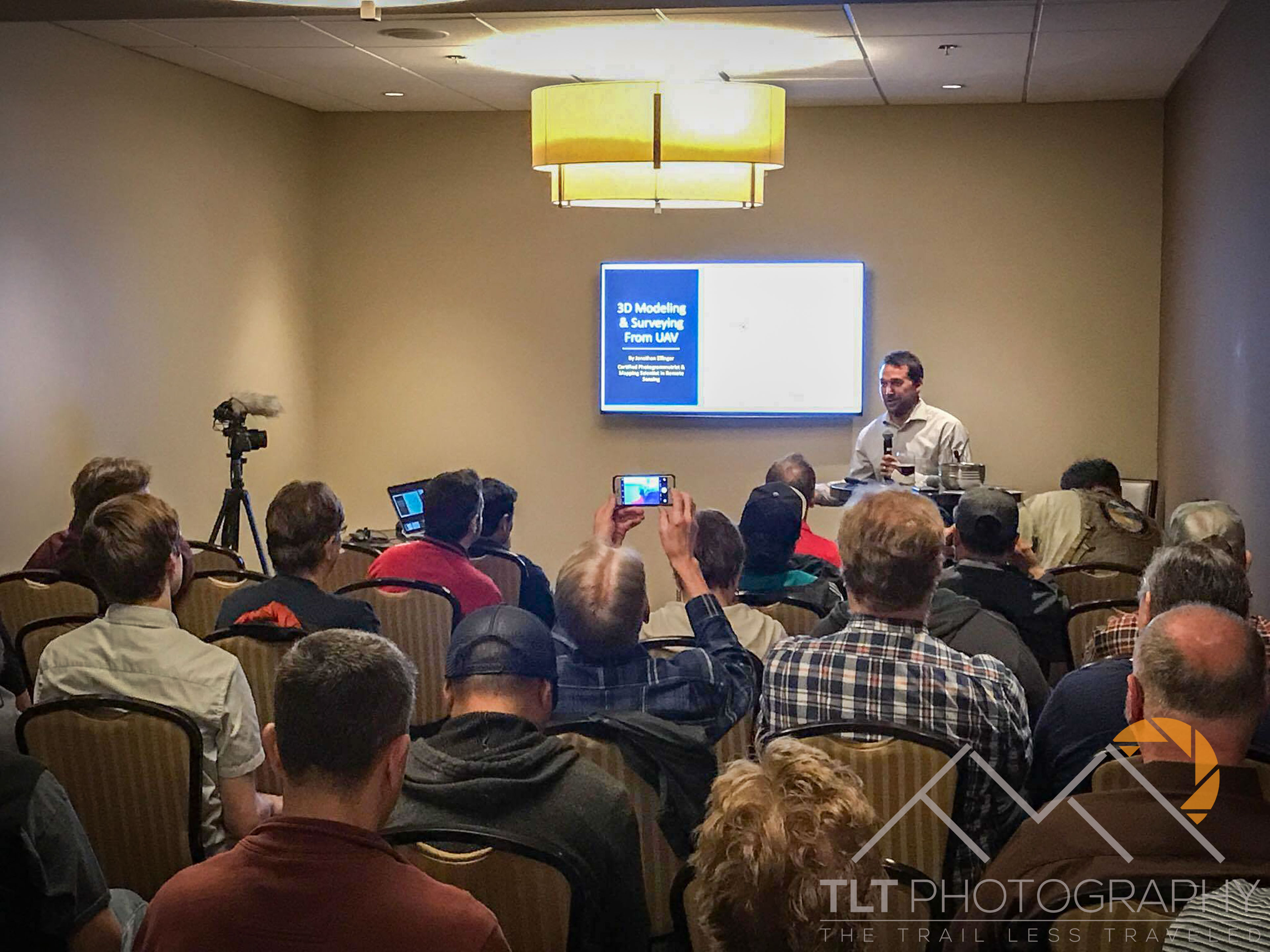
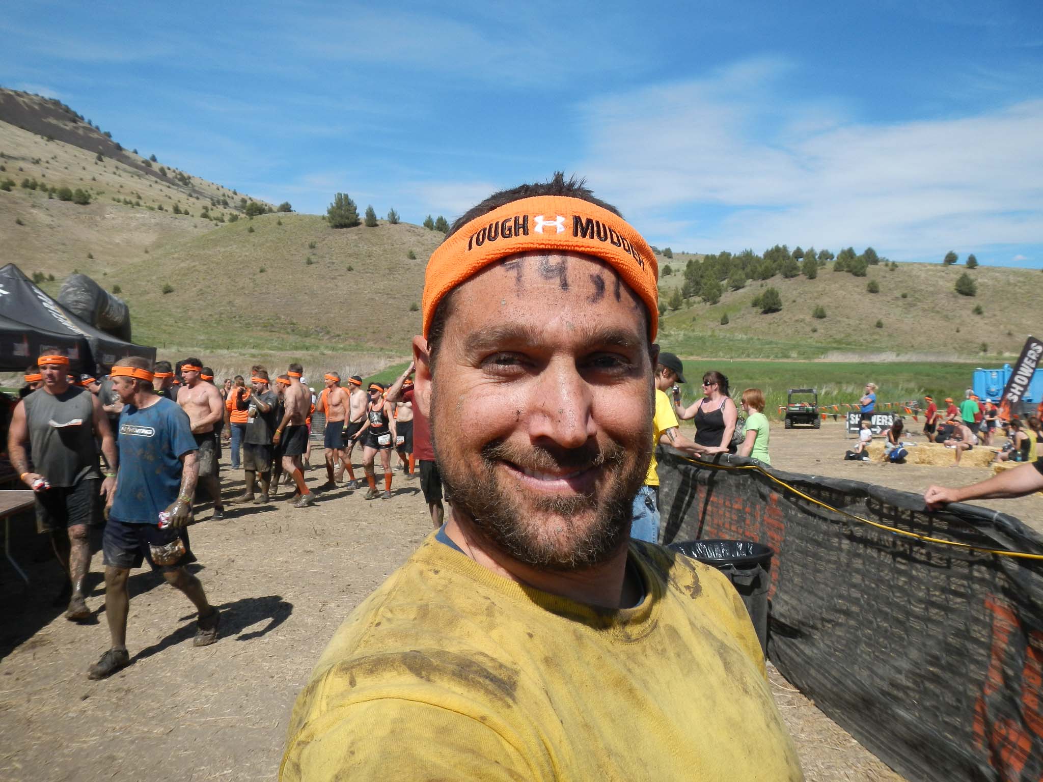
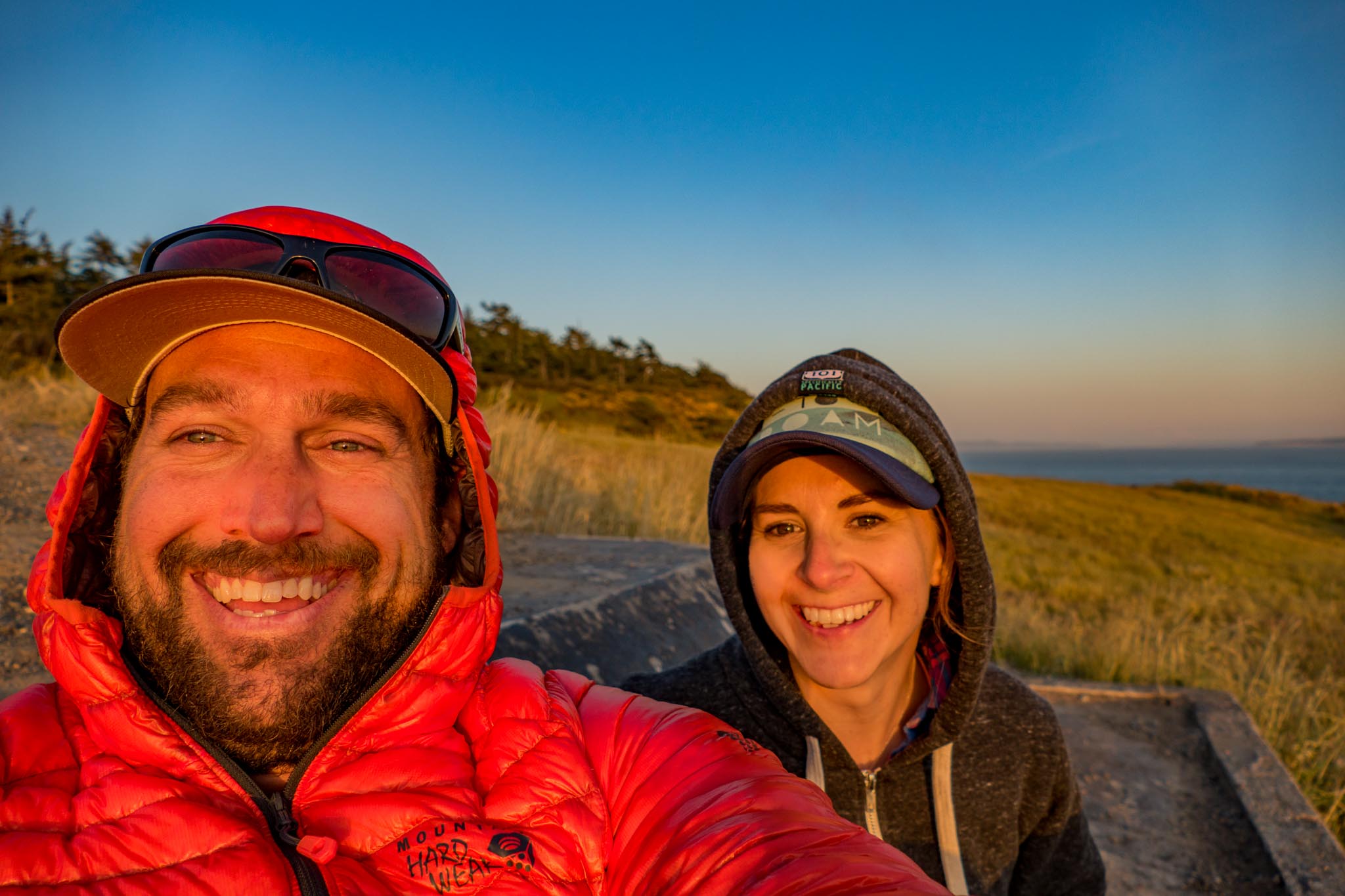
It was around this time that my love of photography blossomed with the purchase of my first professional camera, the Nikon D7000. Since then I have moved through several Nikon bodies as well as obtained my ASPRS Photogrammetrist and Mapping Scientist in Remote Sensing certifications. My passion for all things photography has been a huge benefit to my aerial mapping career over the years. After at tumultuous few years of job changes and the introduction of affordable flying cameras (DJI) I started TLT Photography in 2017 with the intent of bringing my years of experience aerial mapping from planes and helicopters to the world of drones. I quickly realized that the professional surveying industry would benefit most from my unique photography skillsets leading to me joining S&F Land Services as their Remote Sensing Manager in 2019 where I happily remain. I now teach our field crew UAV pilots the photography skills they need to capture high quality aerial data that I then process for our surveying and mapping clients. In 2019 Emily and I also officially moved to Warrenton, OR on the North Oregon Coast just south of Astoria where we enjoy working from home at our lake house just a quarter mile from the Pacific Ocean.
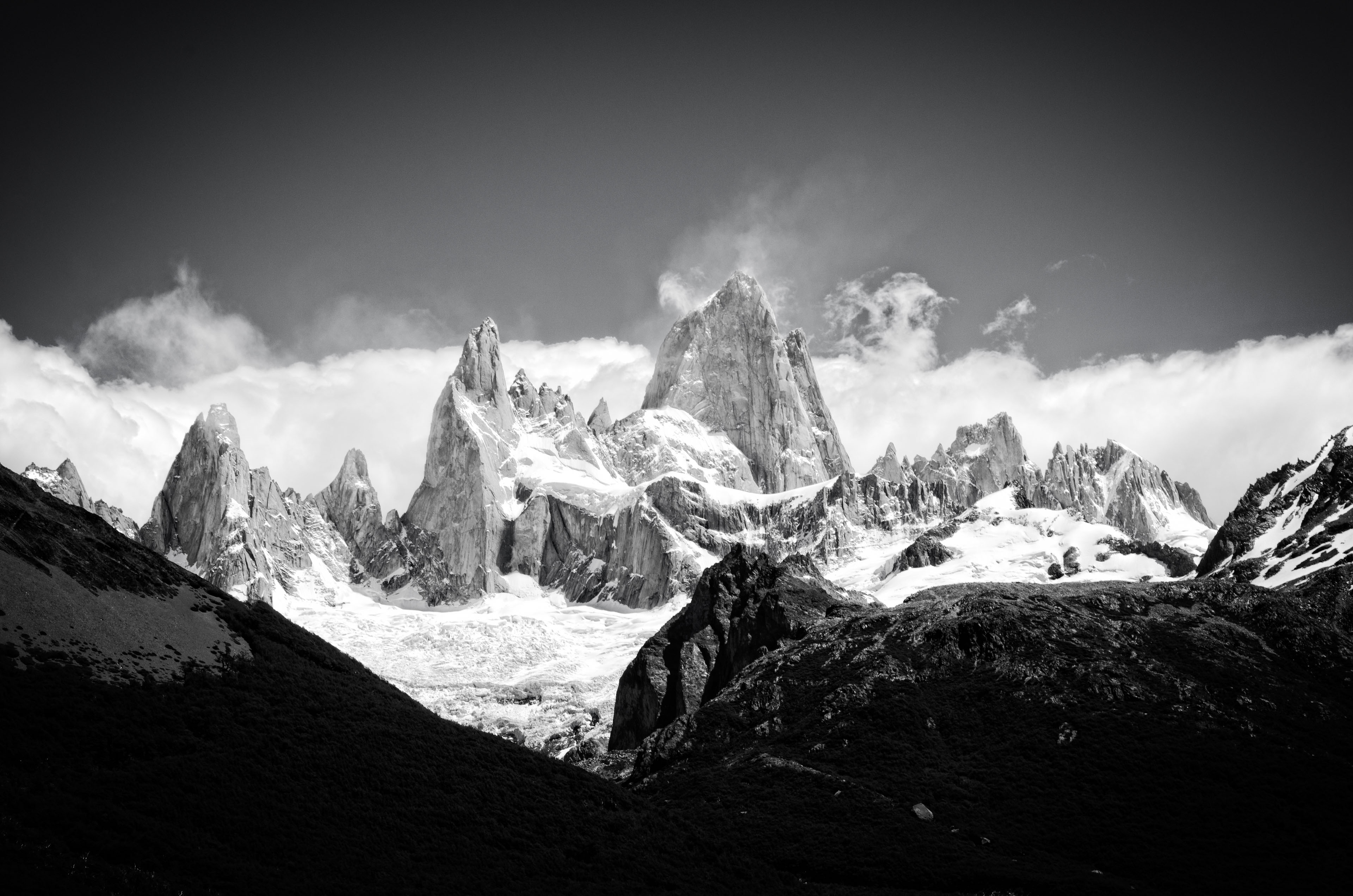
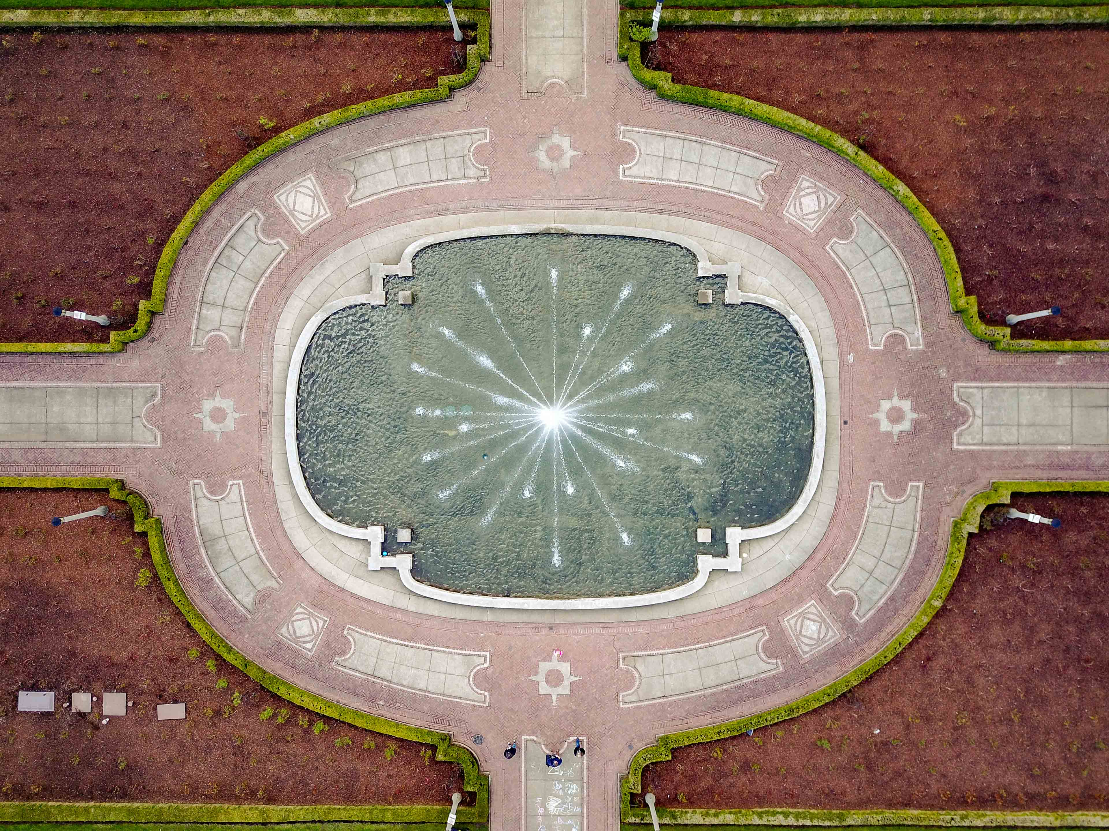
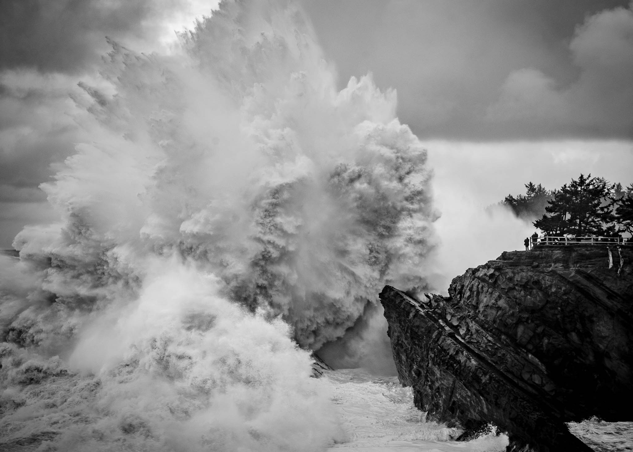
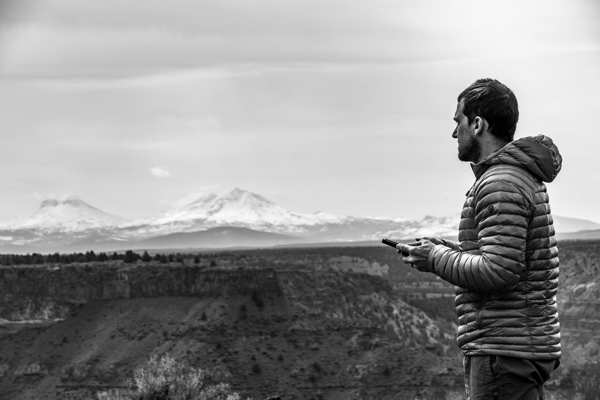
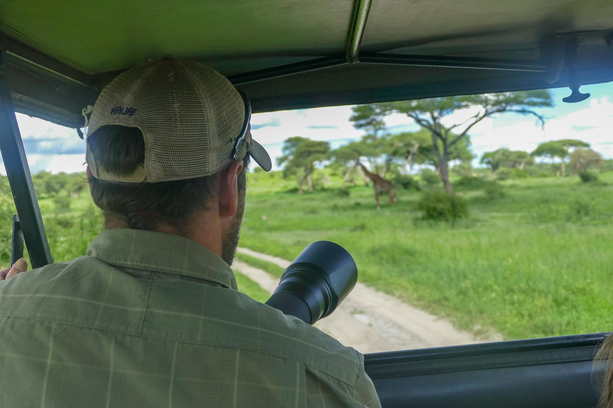
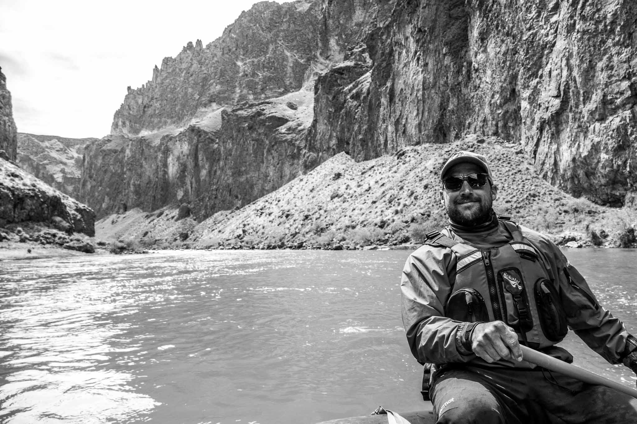
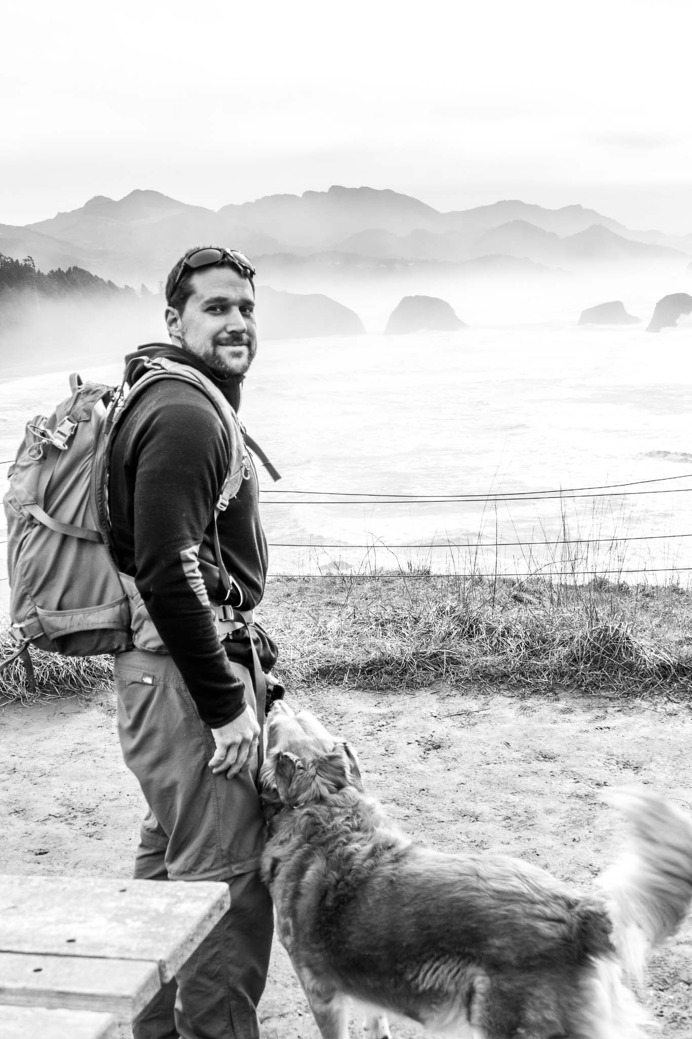
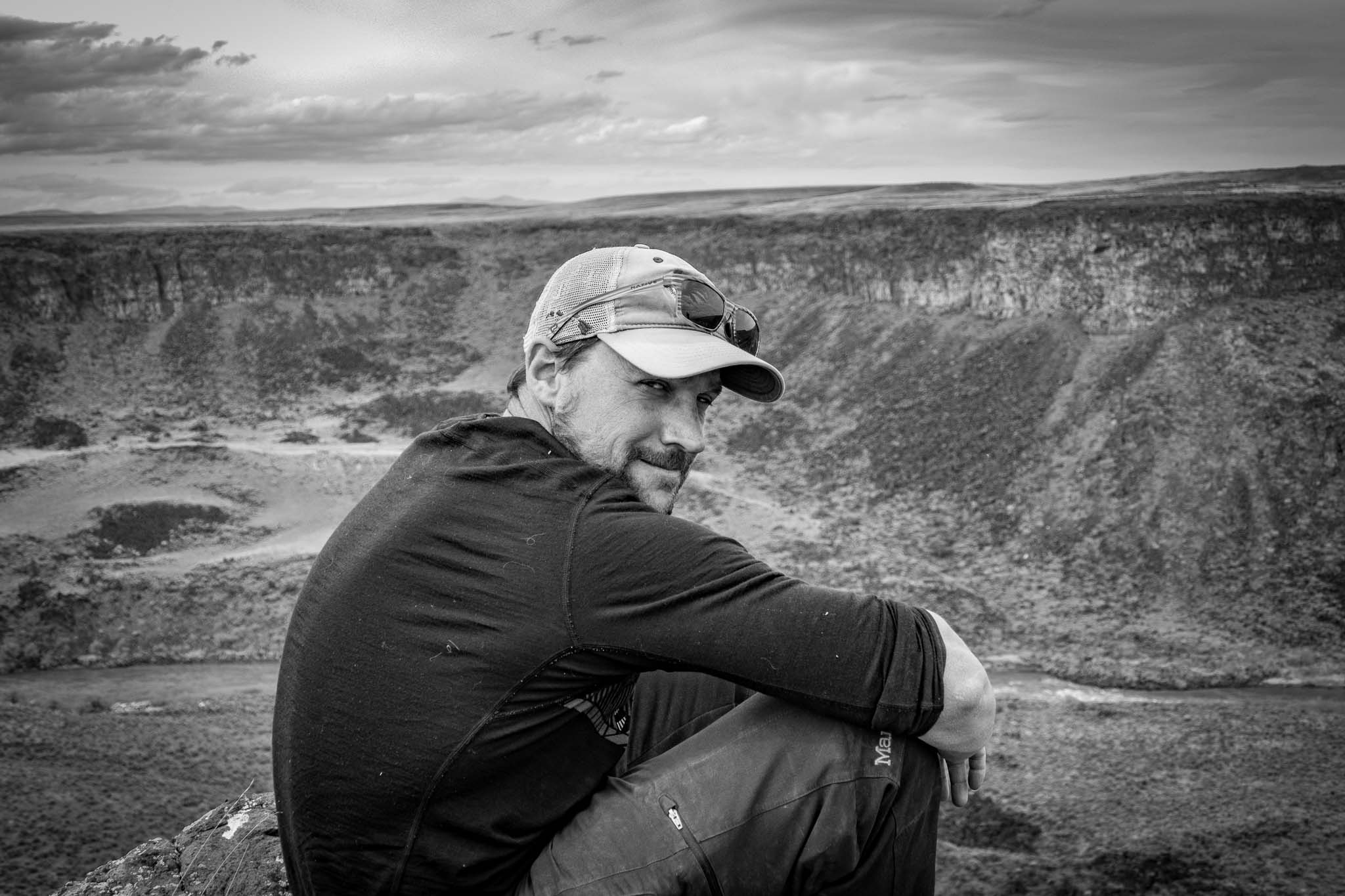
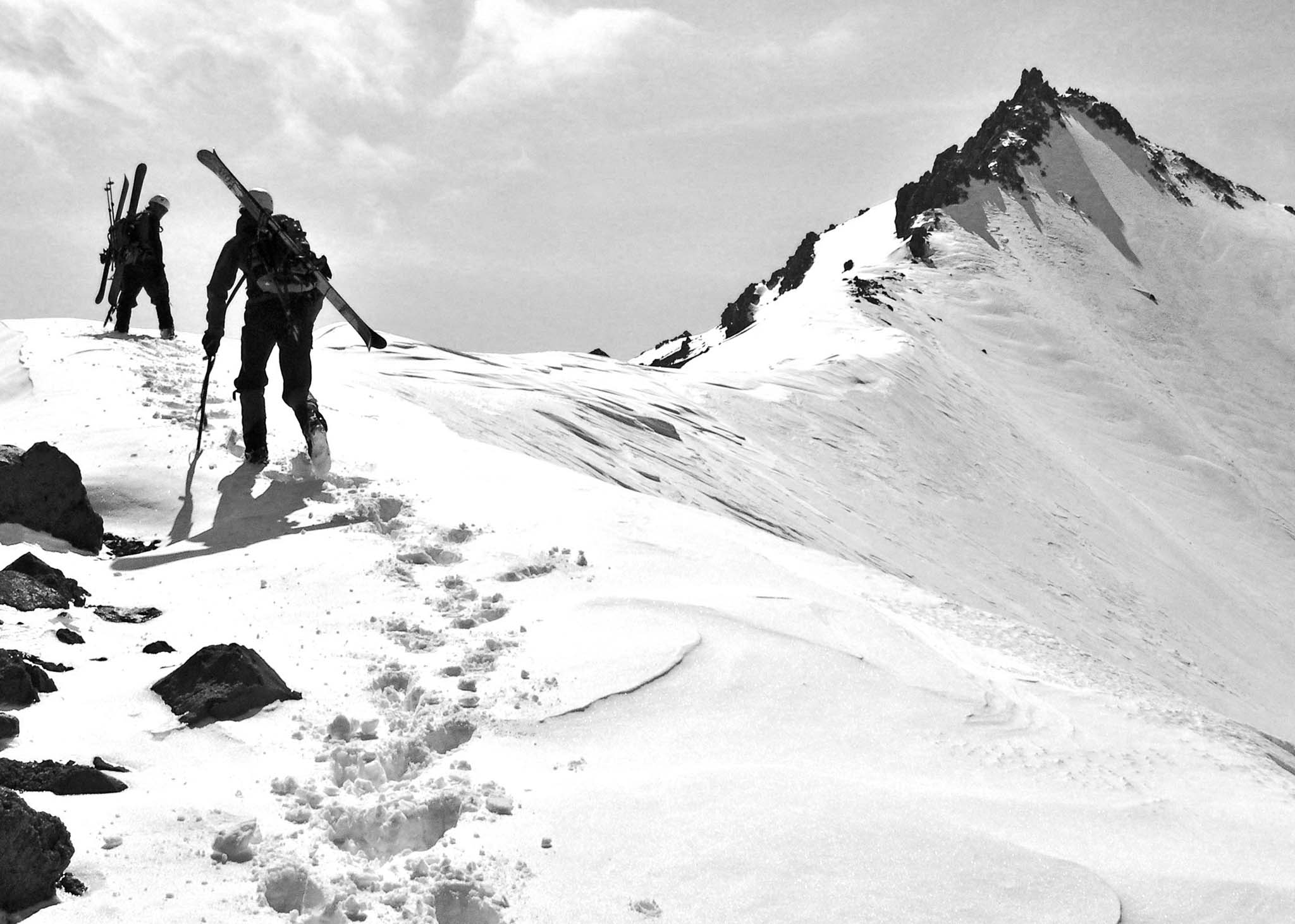
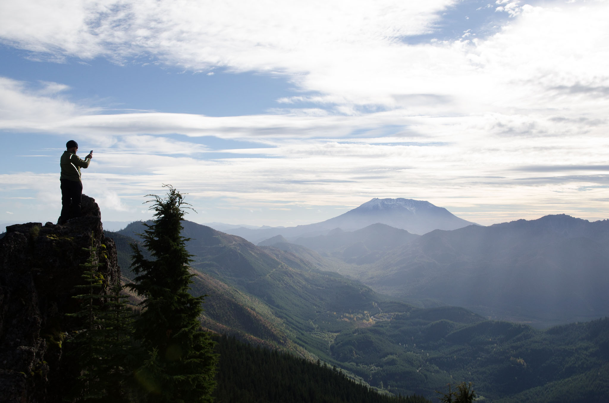
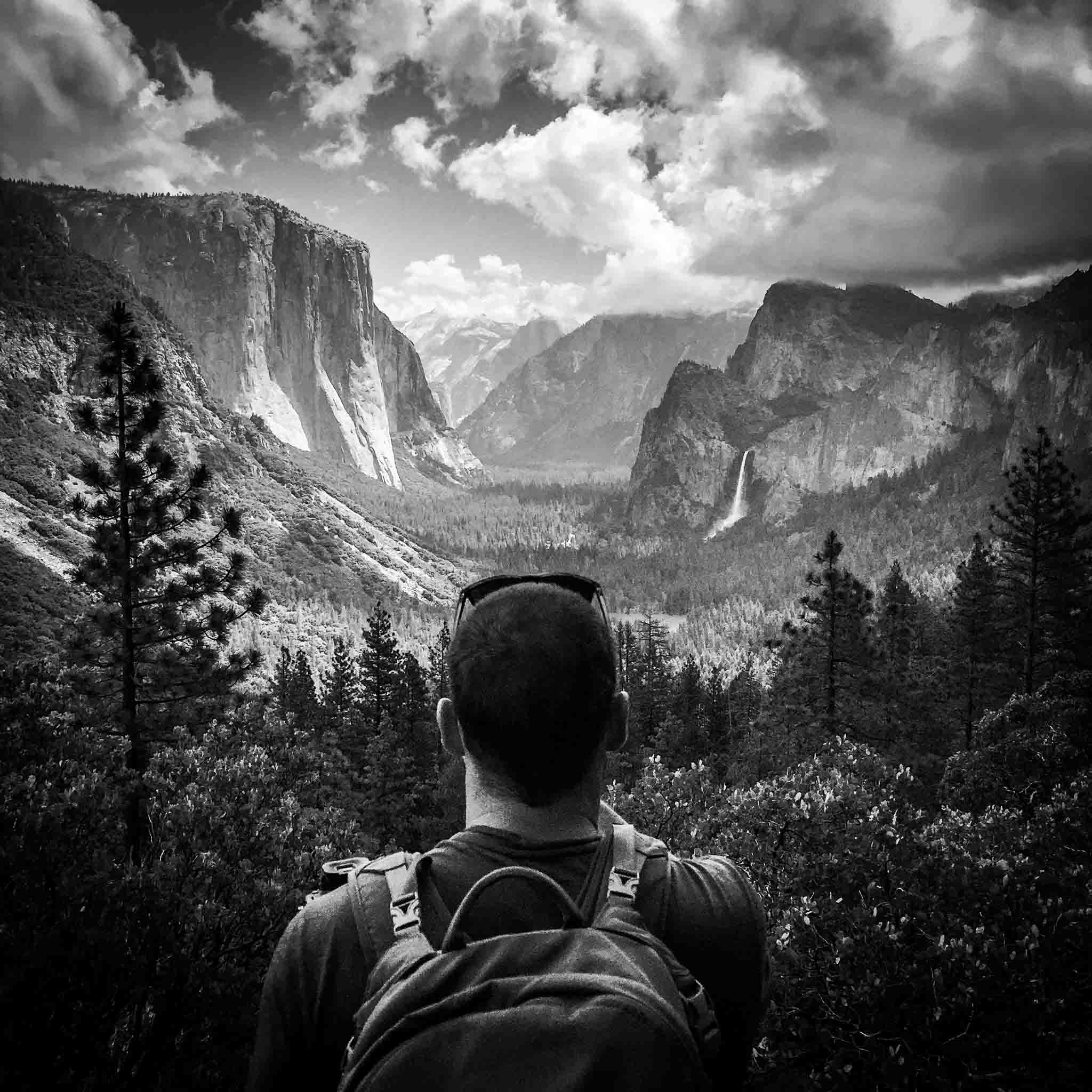
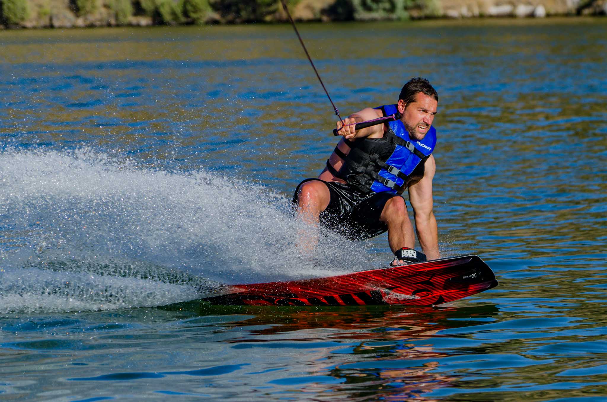
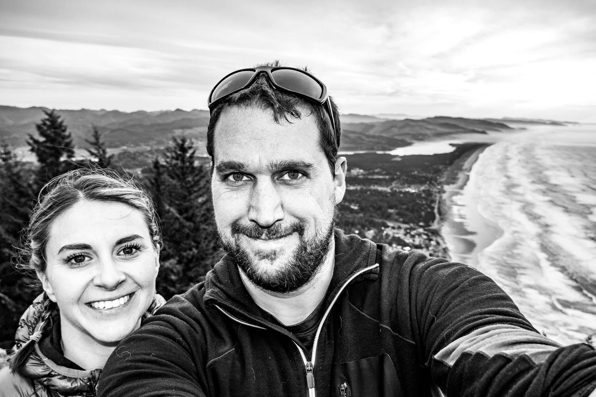
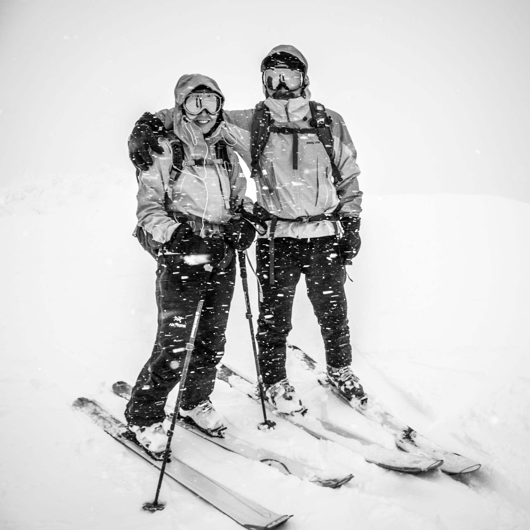
When we are not busy with our professional careers we spend our time exploring the stunning beauty of the Oregon Coast, the Pacific Northwest, and traveling the world when our busy work life allows. Please feel free to explore my photography in this website and contact me with any questions you may have about prints, camera/drones advice, the natural wonders of the PNW, or anything else photography related.