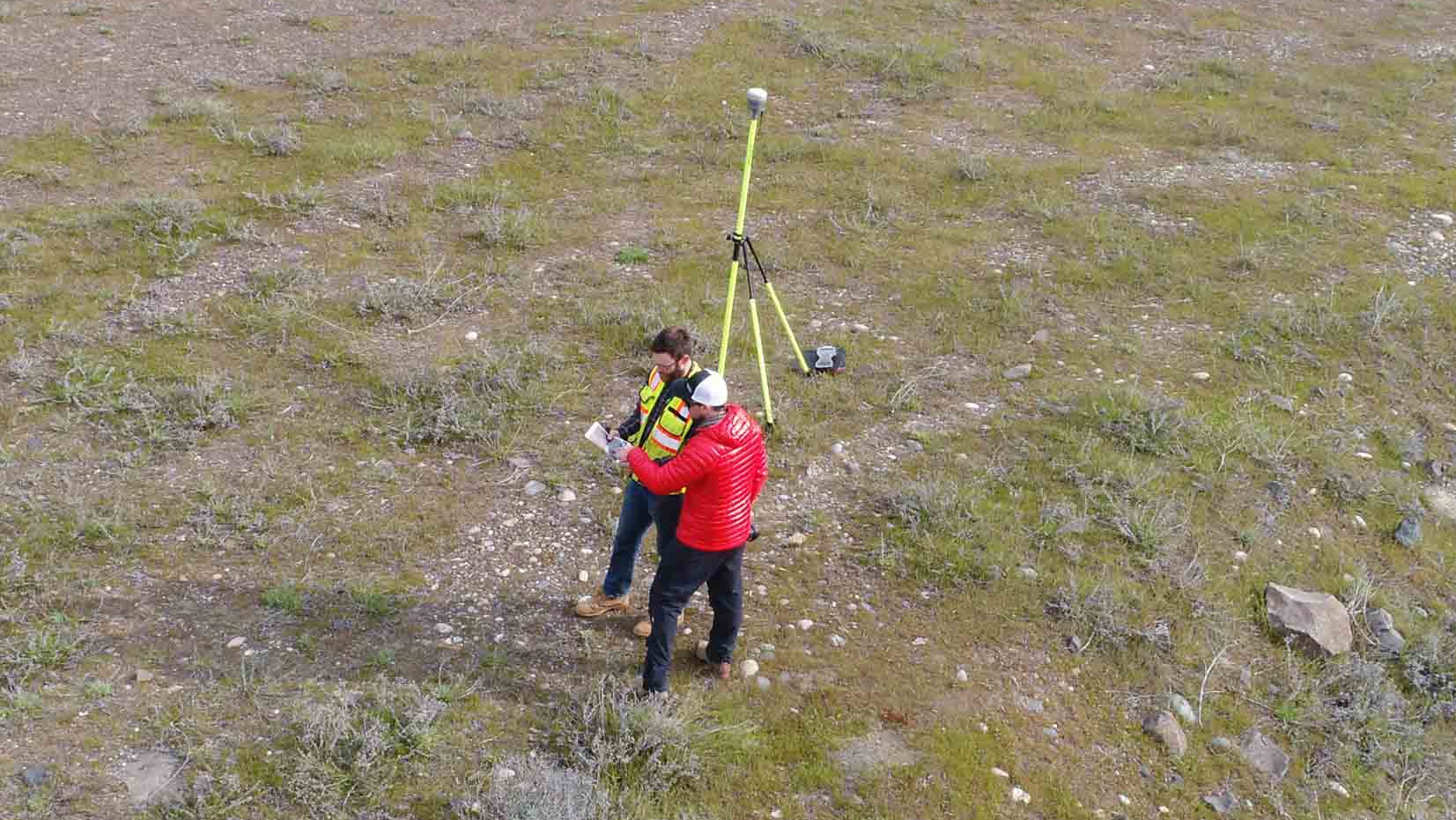
I recently finished a project in partnership with Statewide Land Surveying out of Gresham, Oregon. It was for the Army Corps of Engineers and was very interesting. Unfortunately, there is an NDA so I can’t talk too much about what we acquired and what I processed. It did involve a cliff face and I had done a lot of prep work modeling the Chenoweth Cliffs in Dalles, OR to make sure I had understood the process of acquiring and modeling a vertical face. The preparation time paid off. I was able to both acquire a dataset with my own personal Mavic Pro as well as process multiple data sets acquired by the SWLS pilot, producing some terrific 3D models to pass on to the client who seemed very pleased with the work.
Statewide Land Surveying Partnership


