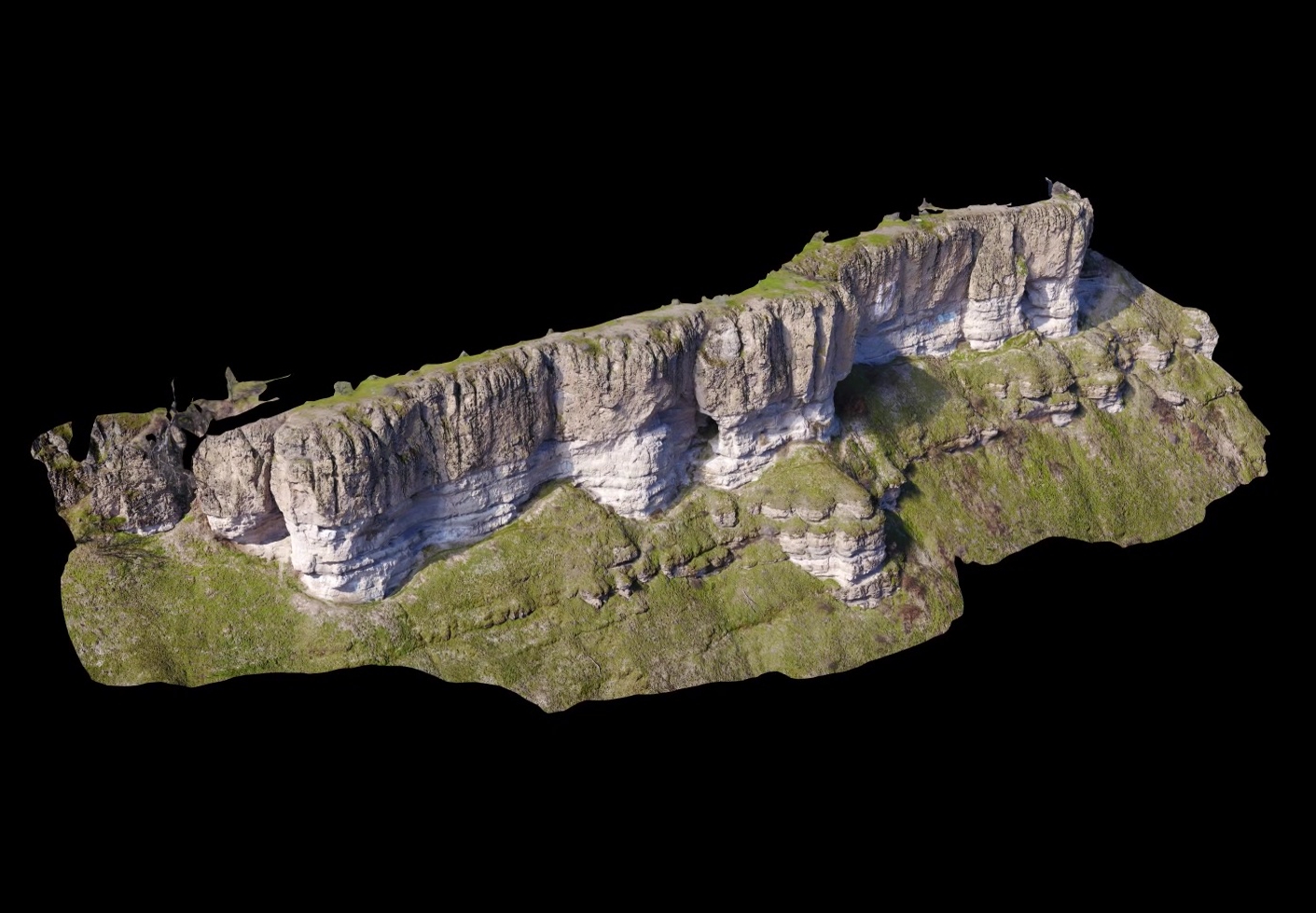
Ultra high-resolution 3D terrain models produced by modern photogrammetric software from aerial imagery captured by UAV is nothing short of stunning. No longer do you need a million dollar lidar sensor mounted to an aircraft to achieve the point density necessary to make detailed sub-cm models of geological features. Geological applications of such models include debris flow modeling, fault identification, lithology, rock type and mineral identification, texture and structure analysis and much more. No longer do researchers and scientists need to scale a large cliff face and put themselves at risk of a fall to study the rock structure or take measurements. A 400 foot long cliff face can be fully acquired by UAV with sub-cm resolution in under an hour and the resulting 3D model can serve as an unbiased digital record of the terrain at the time. TLT Photography specializes in affordable 3D terrain modeling professionally produced by Jon Ellinger, a Certified Photogrammetrist and Mapping Scientist in Remote Sensing with advanced degrees in both geology and geography. Please contact Jon if you are interested in having something modeled or if you just want to chat about what is achievable with current technology. Use the image below to manipulate the 3D model. It may take a few moments for it to load.
3D Terrain Visualization From UAV (Drones)